

But then, it would be hard for me to drink booze and watch Battlestar Galactica and eat pizza and even to blog with much proficiency. Plus, dying of old age before my fifth birthday would kind of suck too. So, I guess I'll make the best of things. :)
Cruel, cruel autumn...
Not really, but I was pretty alone this weekend. It was Thanksgiving weekend in Canada (we have the Monday off; it's the same day as Columbus Day in the US). I was entirely abandoned. Not that that especially bothers me; I'm not the kind of person who needs or even wants people around all the time. I grew up fairly self-contained and entertained, and that's just who I am. That said, it was kind of a downer just how bereft of options I was. One likes to have options, even it one elects not to exercise them...
One friend was out of town with his wife visiting his elderly mother.
Another friend is going through a very rough patch in her marriage and was in no frame of mind to pal around.
Another was hoping to trail around with me, watch movies, bend elbows and the like, but another friend showed up drunk and vaguely suicidal at his door at the start of the weekend and it was babysitting time... after that, he too had to get out of town to do the family get-together thing... talk about your long, long, long weekend.
And finally, yet another friend called me up right out of the blue to wish me a happy Thanksgiving and to tell me he too was heading out of town. Nice sentiment but that one struck me a bit gratuitous... God chuckling at me. Well, no bother. Like I said, I find myself reasonably good company most of the time.
Saturday I just decided to go for a long walk in my own neighbourhood, first to rent some movies, then to buy one of those turkey rolls in a box things. Cripes, it was twenty bucks. That's about six bucks a pound. Okay, it tastes good, but Jesus, you'd think they fed the turkey platinum or something. It was a good two hour walk, and the temperature was fantastic for October (it was the whole weekend through, in fact). It was good to get out. That was pretty much the extent of Saturday, though.
Oot and aboot
Sunday was when I really started enjoying the weather, though. I decided to drive out to the vicinity of Georgetown to see if I could find a place on the back roads I hiked around this time last year (I blogged about it here). I did indeed find it. It was a place I was first interested in because on the map, it forms part of the Niagara Escarpment, and it looked like it had a stream flowing over the side. At the time, I was mad for trying to take a long-exposure photograph of a waterfall with my (then) new Canon Rebel XT. Well, I never did find a waterfall, but I did find ample evidence that there must be some in the springtime.
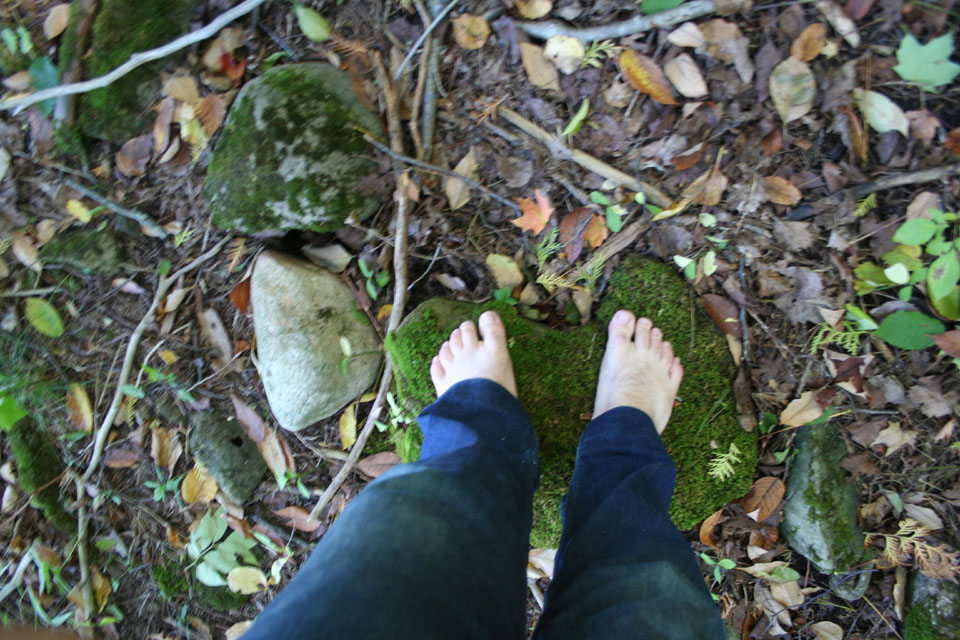
It's a strange place. In spite of all the exposed, water-worn rock and the swamp at the base, the hillside is monumentally dry. A lot of the trees are dead and desiccated. I like to hike barefoot, and I can tell you I've been to friendlier places for indulging the tactile senses. Most of this place is sharp and angular and dry. It's a good challenge, and it makes you feel alive, but it's not sensually pleasant for the most part. Visually, it's stunning. I took a lot of interesting shots of dry waterfall rock and the strange things it does to the trees. I was there for a little over an hour before moving on.
On my way back east I decided to check out an intriguing gap in a road on the map in northwest York Region. In my experience, such gaps often herald rewarding explorations... like old bridges that have been closed to traffic, or washed out roads, or just deep valleys that farming communities simply couldn't afford to span. They're usually lush, and often have abandoned properties with evocative laneways and sometimes even the haunting ruins of buildings. I decided to go and have a look.
On aerial photos of the area, it looked to me like a creek cut the road off at its northern terminus. What I took for a creek, though, turns out to be a driveway with an unusually wide clearance. I didn't realize that until just about the time I was leaving on the second trip. I kept looking for a creek and a missing bridge. Since there isn't one, I'm not really sure just why the closed the road in the first place.
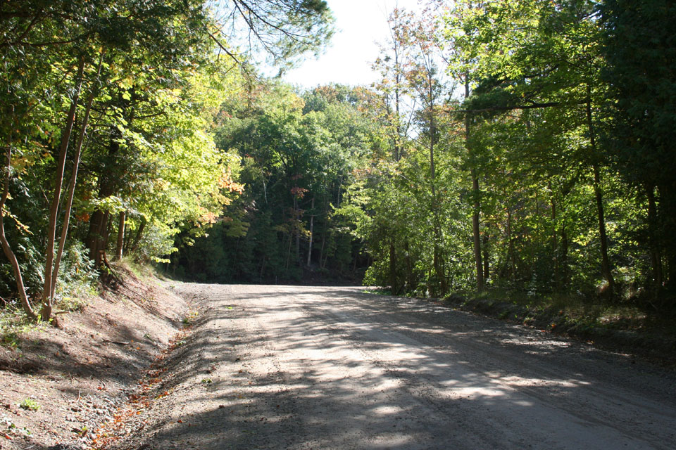
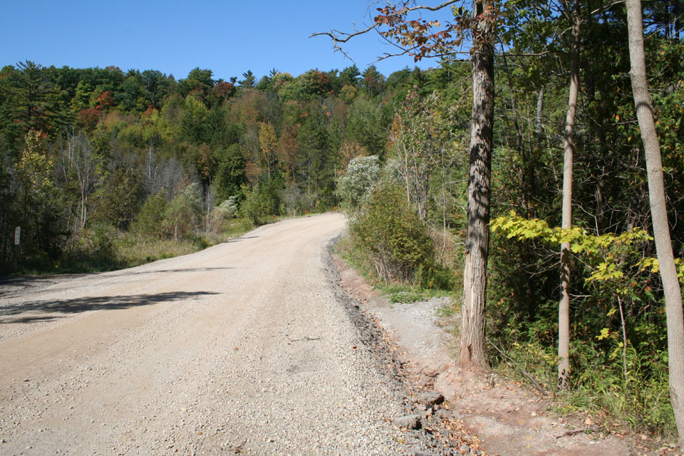
Regardless, it's a beautiful walk, engaging nearly all the senses... if you're willing to open them up. I should say that there are some pretty abrupt hills on the trek, and even approaching it. I drove to both ends - the southern one on Sunday and the northern one and Monday - and both of them feature drop-offs so steep and so sudden that they had me putting the brakes on, and then creeping down slowly. Well, much the same is true of the closed section. In fact, one drop was tremendous... it must have been a plunge of nearly 100 feet at something like 60 degrees. It was even tricky just walking down it. I encountered it just a few minutes north of where I parked on the first day. There was a gentle rise, and then a crest, and a long, eroded drop. I have no idea when they closed that part of 7th Concession, but I suspect it was some time ago... the erosion and the way the forest has tightened around the clearance are impressive. Since the gap exists on a map I have dating from 1990, it's probably 20 years at least.

Down a slope... to a hill? Nice start...

Set a spell... take your shoes off... y'all come back now, y'hear?

Looks like a long drop? Yeah, and this is half-way down...
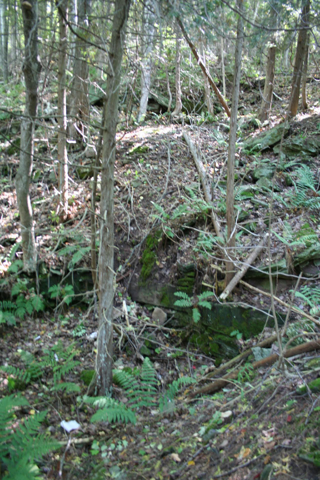
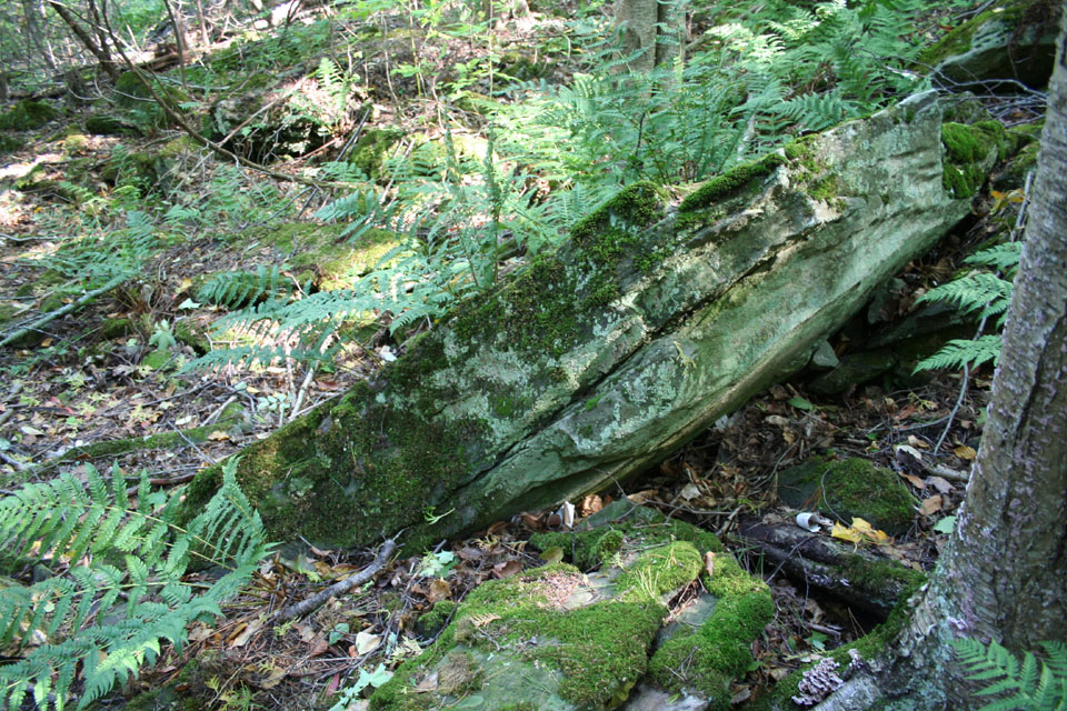
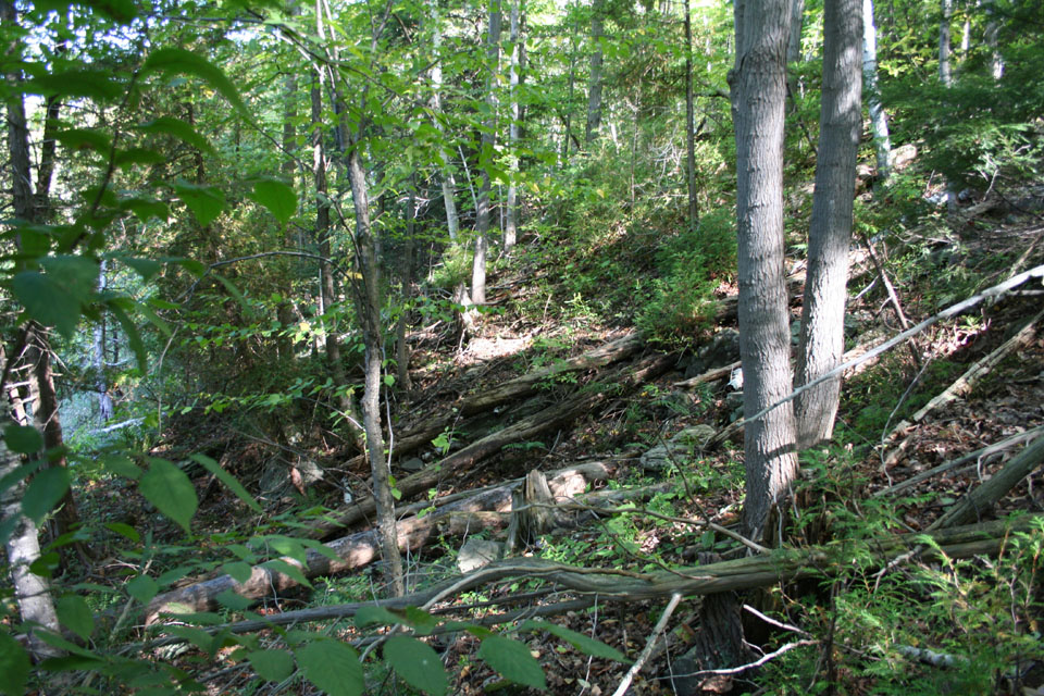
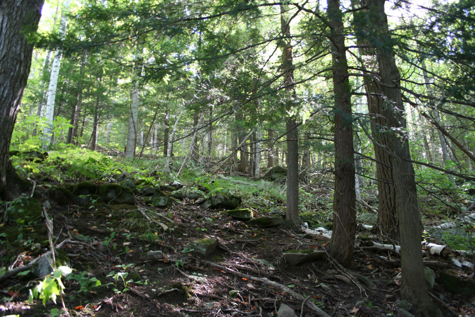
I didn't go too far along the road on the first day... I got to about the bottom, where I lingered and let a couple and their dog pass me. I thought about heading back up but something about the look of the forest on the east side beckoned, and I headed off the trail into the forest. It's just about pristine... I didn't see any evidence of footpaths, no garbage, no prints, nothing. Just forest, and birdsong so loud and thick up the hillside that I couldn't be sure it wasn't some kind of squeaky machinery. Given that it ceased as I made my way up the hillside, I have to assume it was birds after all, who decided to tone it down on my approach. The hillside was overgrown with trees, bushes, ferns, and littered with moss-covered fallen trees. I found a place to settle back and commune with nature, just listening and watching, drawing in the scents of the place and feeling the cool earth and leaf litter beneath me for a quiet half an hour. After that, I made my way back to the old road, following a pair of 20-something hikers (a young woman and a lean, shirtless guy) back up the steep hill. They utterly disappeared part way up the hillside, gone without a trace by the time I crested. Ghosts.

"Wow... you're weird..."

The magnificent hillside

Heading back up... pant... puff... the first drop

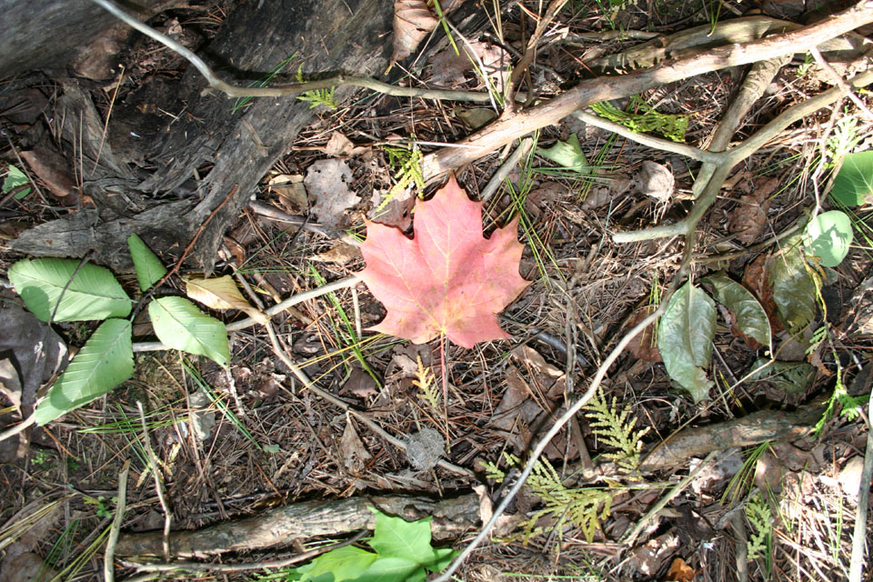
Peddle-pushers, the things that push peddles, and the glorious fallen leaves
—————
Update: Nov. 24, 2007. Adding the video I made of wandering the leaves barefoot.
I just had to come back the following day and do the road from the north end. Monday proved to be even more interesting. Heading for the north end of the road, I happened to pass through a tiny hamlet called Kettleby, which hugs a twisting road down to a handsome one-lane bridge that, surprisingly, seems only to have been built in the last few years (no doubt replacing an older one). Obviously Kettleby has a made a very conscious decision to keep its cozy small-town feeling and limit the traffic shooting through the place. I found the Italian Bakery glimpsed on passing through a charming nod to the modern nature of western York Region... largely populated, it seems to me, by people with WASPish given names and bold Italian surnames. The main street was festooned with Canadian flags; private residences abounded with both Canadian and Italian ones, usually paired.
Crossing over the 400, I was soon at 7th Concession, and I headed south. After passing through a circa 1960 neighbourhood that still looks like it's on the edge of time, the road runs out of pavement and breaks into dusty gravel. As I indicated earlier, I came to a sudden drop that was momentarily daunting. I eased the car down the slope and traveled along the broad flat area of what must have once been a floodplain till the road ended at a berm with several heavy stakes driven into it. I can only guess they were put there to keep ATVs out and preserve the trail for hikers and nature. I don't doubt ATVs are a blast, but there's a time and place for everything, and charging around a sensitive natural area in the Oak Ridges Moraine is neither where these noisy turf-terrors are concerned.
When I arrived, a couple of women were loading a pair of wet dogs into an SUV. This confirmed my suspicion that there must be creek immediately south of us, since that's where the road ends and the big carved area (that turns out to be a driveway) appears in aerial shots. So, I clicked on my Rebel XT and set off, padding down the leafy trail that once was a road.

Initial view heading south from the north end

Tunnel vision

Isn't there supposed to be a stream somewhere...?
I didn't see any creek.
There was a rise, and I thought, it must be after that. But before I reached it, off to my left was what looked like someone's driveway. I had to walk that trail. It actually turned out to be the highlight of the trip, I think. Little hints of what might have been, but nothing definitive. What was this open area? Where did the tire ruts lead? What did the disconnected power lines once serve? A home? A business? Both?

On the left, the gate of the driveway; on the right, 7th Concession Road heading south

Heading along the driveway...


I never did find any real evidence of a structure, and I didn't follow the road to wherever it ultimately leads. That's for another hike. What I did find was someone's shirt, draped on a branch overhanging the drive. Grey, with a silvered transfer that read "Angel". That was about as far as I went. At that point, I went off the trail and climbed into the hillside, where I found a quiet spot under a soaring tree. There in the forest alone, I climbed out of my clothes and sat back against the tree for a while, watching and listening on what was probably one of the last temperate days of the year while all around me the leaves fell like huge, colourful snowflakes, whispering as they laid their bodies down on the forest floor all around me. I really did feel like the last person on Earth for a while, and I lost track of time. The gap in the photo record, though, lets me know it was about half an hour. The wind, the air temperature, the sensation of the leaves and the ground, the silence of the world but for the rustle of leaves... the lack of pesky insects... :) ...it was about as perfect a moment as an amateur naturalist (and naturist) could ask for.

Well, yeah, okay... nice place to go topless, I suppose...

Alright, I see the shirt... where's the angel? :)

In a state of nature


On my way back I decided to take another trail I'd noticed forking off in one of the clearings. This turned out to be another driveway. It led through a rather swampy area, and the ruts in the road were surprisingly deep; well over my ankles. I had to haul my cuffs up to avoid getting them soaked. I also found the trail led the telephone poles into the area. One of them looked remarkably recent... to look at it, you would swear it hadn't been there more than five, maybe ten years. But if my map's to be believed, the road's been closed at least since 1990, so anyone who lived or worked there must have abandoned the place earlier than that, out of sheer practicality.


In the manner of a self-portrait... kind of. :)


Right after that came one of the steepest hills I've ever seen purporting to carry a road. I could not believe my eyes. The photos do not do the drop justice. It must be just about 45 degrees. I can't imagine anyone driving either up, or down, this thing. Whoever did must have had balls of brass and nerves of steel. I sure as hell would never attempt it; it took me more than a minute just to climb the damn thing, and even with the surefootedness that comes from climbing in bare feet, I nearly dropped to my knees a couple of times. I can't, I really cannot, imagine driving it. I wouldn't have believed there could be a road under such conditions if I hadn't seen it with my own eyes.

Holy crap, I have to climb this?

Pant pant, puff puff... yes... but at least I didn't have to drive it!
At the top of the rise, I found a brace of roofing shingles, still fastened together. Something must have been around there someplace... but that's as much as I ever saw. Crossing the flats at the top of the rise, I came back to the road. There on a telephone pole was an address number... whatever this property once was, it was at 14830 7th Concession Road. Interestingly, there was another sign nailed to the pole. Whatever it said was long worn off; perhaps it once warned away trespassers. It appeared to have been used as target practice... it looked to have taken a blast of buckshot dead on, sometime in the past.

"Imperious Caesar, turned to clay, might stop up a hole to keep the wind away..." ...Or words to that effect...


Left, looking north up 7th Concession Road; middle, driveway of 14830 7th Concession Road; right, looking south down 7th Concession Road.
I carried on southward and came to another massive rise. Glancing around, I had a sudden sense of deja vu, and realized, almost to a certainty, that was at the place I'd gotten to from the south end the day before. It was the same rise I'd come down the previous afternoon. But I wanted to be sure... after all, I still hadn't found the creek! I climbed the rise, and sure enough, there below me was the other end of the open part of 7th Concession, where I'd parked Sunday afternoon. I felt no need to trek there, and so, I headed back... back down the steep hill I'd first eased down the day before.

Another steep bloody hill...

Time to stop and smell the roses! ...Or whatever the hell these are; I don't care...

Encounter awaits, just around the bend...
Embarrassment and being different
As I've made abundantly clear, I like to hike barefoot. I've been doing it for about three years now, both in company and alone. I usually do encounter other hikers sooner or later, but so far, nobody has ever commented one way or the other, or expressed any interest... which suits me just fine. I'm not interested in justifying or explaining myself, nor even in proselytizing particularly. If I set an example that leads others to give it a try, that's all I could hope for. While it's not uncommon in central Europe, I realize it's a bit eccentric here in North America... but no more so, I should hope, than earrings or tattoos, and less so than Mohawk hairdos or kilts. I like to think that most people don't think I'm nuts, but recognize I've made an out-of-the-ordinary choice for aesthetic and sensuous reasons.
That said, yesterday I sort of got what I guess amounts to my first comment on it, in a roundabout and fairly neutral way.
Not long after I reached the bottom of the hill, I spotted three men coming towards me. They were the first other human beings I'd seen since the women with the dogs at the start of the hike. Leading the troop was an older guy, somewhere in his late 40s or early 50s, I'd guess. Behind him, a lanky figure in a white t-shirt, and last of all a heavy-set guy somewhere in his 20s, dressed in a green shirt that might have served him well among Robin Hood's men in Sherwood Forest. I approached them, a husky guy in his late 30s in a ball cap, hooded pullover, cargo pants, bare feet, and a heavy black SLR camera around my neck. One of them tree-huggers. The older guy met my gaze and we greeted each other as we passed.
The guy behind him in the white t-shirt got this look of amazement. He came straight at me. He was in his mid-to-late teens... at a guess, I'd say 16... and something in his manner tipped me off straight away that he was mentally handicapped. He came right up to me, just like a dog would (and please, don't think I'm denigrating him in any way... I'm simply relating the analogy that sprang to my mind at that very moment), as though I were some kind of animal he'd never seen before and simply had to investigate. And he put his hands on my sides and started to lean right down, I suppose to see if what he thought he'd seen was really true: some guy was walking around the forest barefoot. I wasn't frightened or alarmed or even particularly embarrassed, it was just... different. The older fellow barked out the young man's name and he immediately moved off from me. I didn't want to make anything out of it — it was what it was, just a moment of unrestrained curiosity — so I simply carried on down the path and didn't look back. I never took a photo of any of them, coming or going... I kind of wish now I had. It was such a singular moment.
Anyway, it passed.
I reflected on it later, and I'm still surprised I didn't really feel embarrassed at all. In truth, I felt more embarrassed for the young man and his companions. But I know that no one really had anything to be embarrassed about. I simply wasn't wearing my sandals; it's hardly scandalous. The teenager has a brain that, in some way, works at odds from those of most of the people around him. It's not his fault; it isn't a fault at all. It's simply how it is. That it allowed him to behave in a manner outside what we'd consider typical conduct in meeting an unusual stranger (that is, me) was only conspicuous in that it persisted in him to such a late age; certainly it wouldn't have seemed unusual in someone much younger, after all. So, in the end, it was neither good nor bad... just a moment of sheer honesty. I was different. I was worthy of notice. I was, in a word, remarkable.
Actually, I think that's a rather unfortunate reflection on North American attitudes.
Anyway, I passed by the numbered phone pole I'd seen before, and came to another hill... this one, descending. It was a hill I'd seen from below, but hadn't climbed due to the fact that I'd taken that deke off the road down the ancient driveway. So this was a part of the road I hadn't covered. The bite of erosion into that part of the road was pronounced. I don't know if that was by design or not, but the sides of the road wall were impressive. It's hard to imagine two-lane traffic on it, but I've seen the like before on roads I knew from personal experience had once handled it before they were closed and nature begin its recovery work...

Yes, ladies and gentlemen... another hill!

I was impressed with how steep the eroded sides were
From there, the trek was a fairly direct walk back to the car. I decided to have a little fun and I set the S80 up on the tripod, riding shotgun, seatbelted in, and I filmed the trip back and forth through the beautiful little village of Kettleby I mentioned earlier. Well... it was a pretty successful weekend, speaking in terms of photography and nature hiking, all things considered.

The end