

This particular road is Westgate Blvd., which is today closed from the crest of the West Don valley downward. At its base, it meets up with a public works facility (sewage treatment, from the smell), and still exhibits the evidence of another street, Northbourne Street, which was constructed in the mid-20th century, but likely abandoned after Hurricane Hazel passed through Toronto in 1954, putting an end to any future construction in river valleys in the Greater Toronto area ever since. Anyway, shall we begin?

Map of Westgate Blvd., MapArt
I live east of where I was going to be exploring, so I got on the 401 and exited at Avenue Road (see map). I'll always remember the Avenue Road exit. In a blinding snowstorm one day, I left the 401 there in hopes of a better trip home along Sheppard Avenue. But as I tried to picture the intersection of Avenue Road and Sheppard Avenue in my mind, I couldn't. Then I remembered: there isn't one. I ended up having to double back, creep home along Wilson Avenue... what would normally take fifteen minutes too me over two hours. But, as usual, I digress.
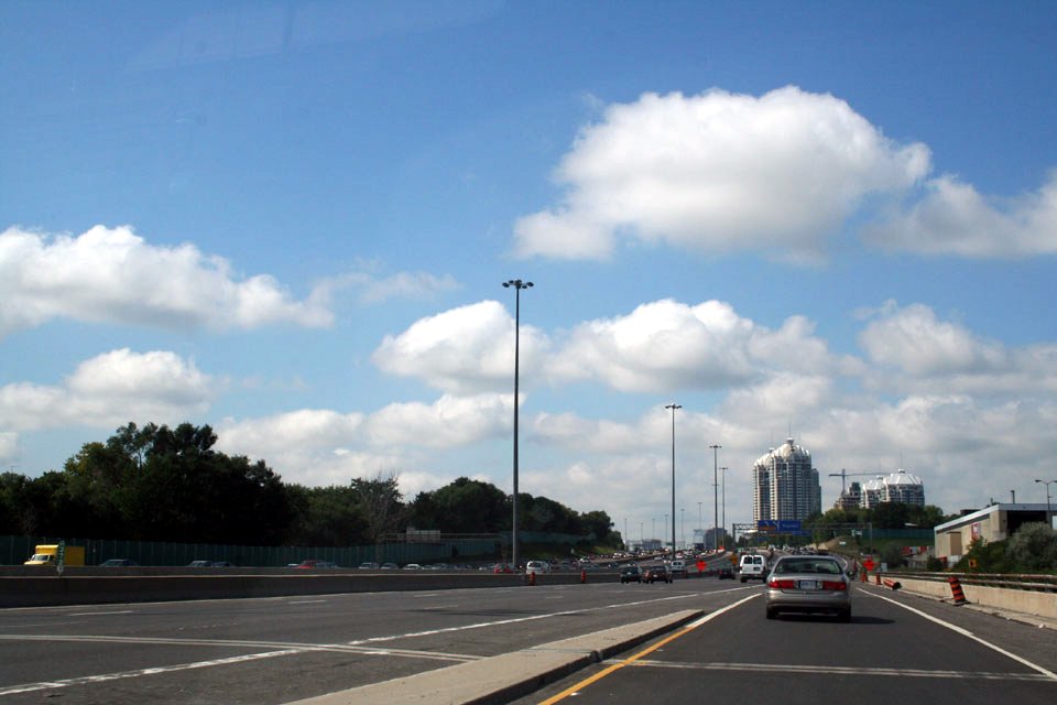
Merging onto the 401 westbound
Today, the part of Westgate Blvd. open to traffic ends at the crest of the West Don valley. Beyond that, it's open to bike and pedestrian traffic only. I don't know exactly when they closed it to automobile traffic, but there's really not much down there to drive to anyway, so it might have been some time ago. A manhole cover I happened across bore the datestamp "NYT 1969". It's sobering to think that the last time we know for sure work was done on this road was right around the time Neil Armstrong and Buzz Aldrin were setting foot on the moon for the first time. Incidentally, "NYT" refers not to New York in some capacity, but to North York Township, which was what the part of the city in question was called in 1969. North York Township was part of Metropolitan Toronto. Shortly afterwards, it became the City of North York, until it and four other municipalities were folded into the City of Toronto in 1997, and the Metro level of government that united them was eliminated as redundant.

The "official" end of Westgate Blvd. in 2005
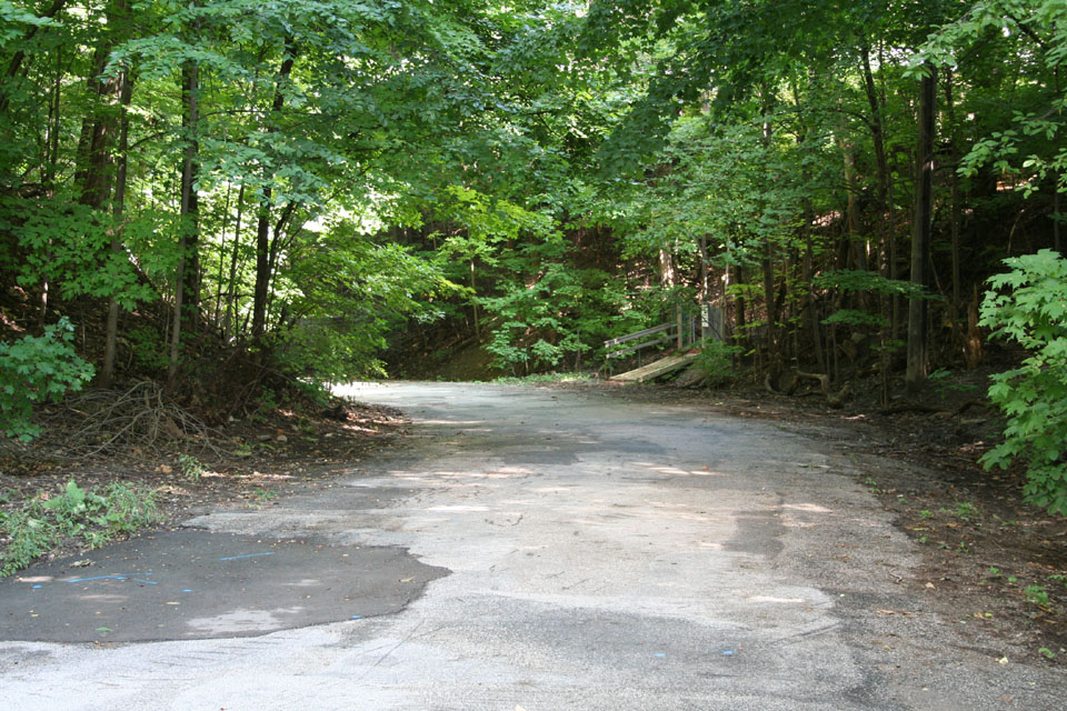
Heading down into the West Don valley
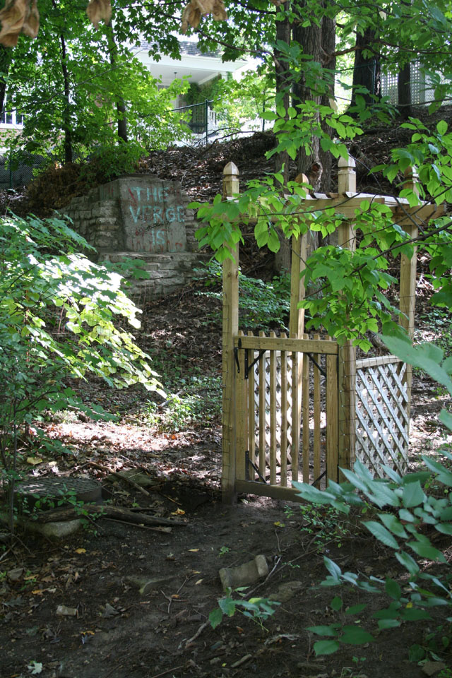
If this is a school bus shelter, you've got a long wait, kid
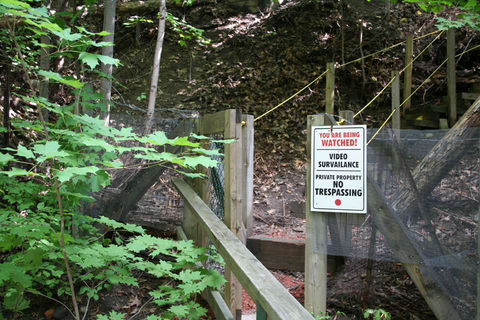
Yeah, nice try; the valley is city property below the crest, dickhead
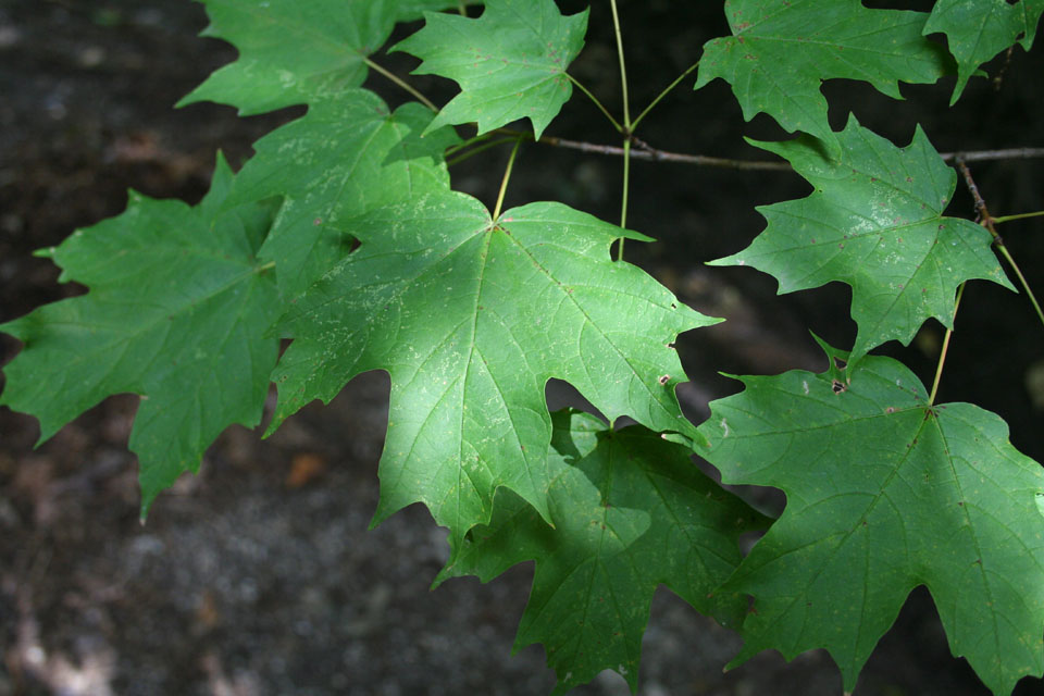
O Canada
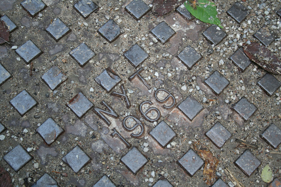
Good nyt, 1969!!
This view with the leaves in the foreground looks back the way I came, after the first curve (see map). It's mostly here because I waited years for a camera that could manage depth of field changes this way instead of being focused on infinity. Sue me; I dig it. :)

Through blurry leaves we see thee rise
This is standing on what was part of Westgate Blvd. and looking at the intersection with Northbourne Street, which heads off into the distance at the upper left of the photograph. Dave Till speculates that it might have once been intended for occupation, but that planning priorities (after Hurricane Hazel) made that impossible, so the road was abandoned. It doesn't appear on the map above, but the course of it basically follows the west border of the Metro Works facility in the centre. It ambles on as a gravel road for about a quarter of a mile, then ends at a creek bed, where I found a rather abused picnic table. Beyond that, a path leads further along the creek. The way is lined in slippery clay, for which I abandoned my sandals (a benefit on gravel, but a detriment on slippery surfaces). Another two minutes of walking brings you to the end of the path, which heads up the sharp face of the valley again. Along the way down Northbourne and back, I took some of the shots I liked best. A couple that look like pictures from some calendar of New England scenes, and several of a bee doing its thing on a flower, with the depth of field extremely narrow. This is the kind of shot that, ultimately, I bought the Rebel XT for. I was less than a foot from the bee when I took the shot, and probably not three feet from the leaves behind it, which are in magnificent soft focus, while the bee and flower are sharp. I love it!

First glimpse of Northbourne Street
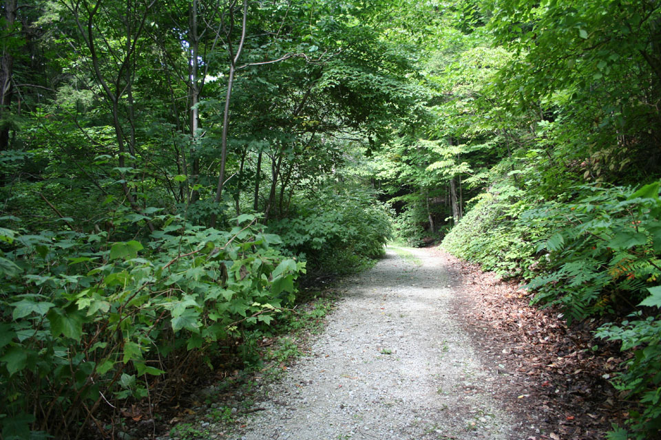
Heading west along Northbourne (why not Westbourne then?)
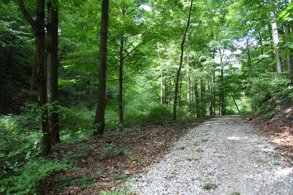
Calendar shot #1

The artsy shot for today

Well, so much for the picnic
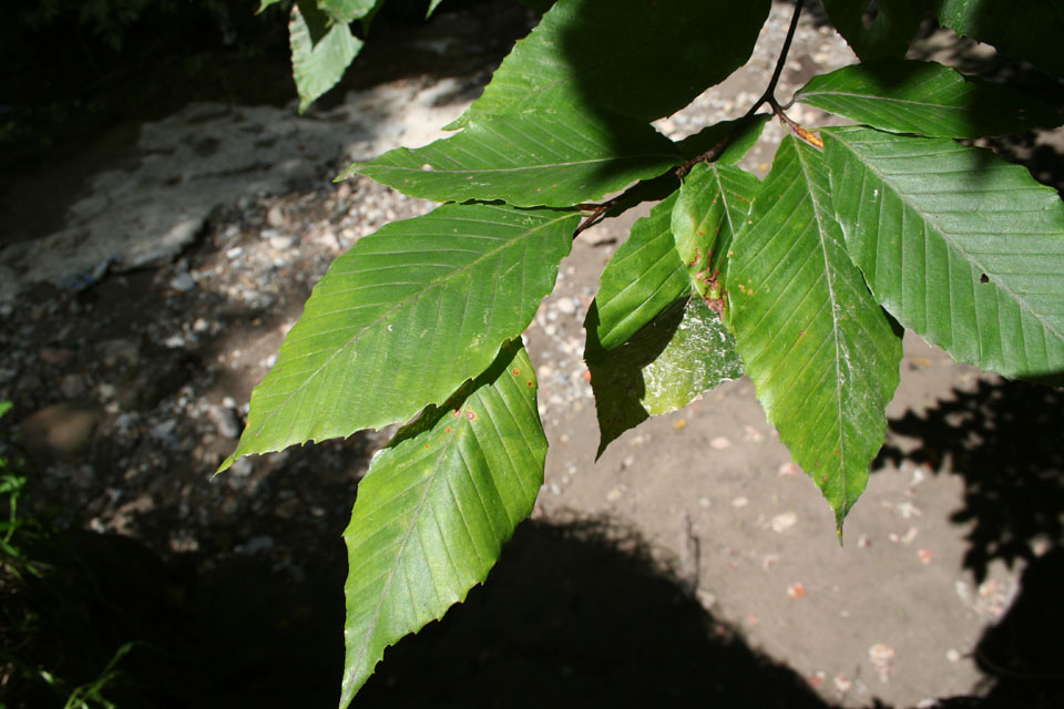
Ten foot drop with leaves outstanding

Intrepid rugged barefoot hiker picture #721! :)
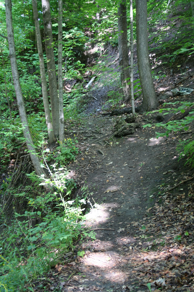
End of the line for the Northbourne trail

What is that thing, anyway?

A wounded tree remembers you always, Jeff

Calendar shot #2
After I got back to Westgate Blvd., I continued down along its course. After just a few moments, I encountered the first of what turned out to be a series of bizarre scuptures rendered from debris. One, made entirely of wood and plants, looked like the skeleton of some strange horselike being from remote prehistory...
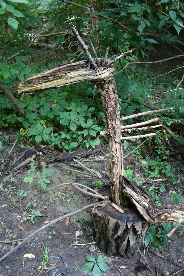
What manner of beast am I?

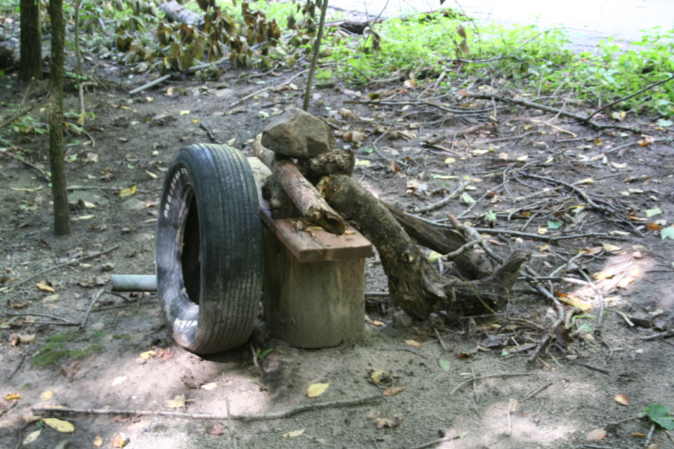
The next reminded me of someone's short, fat uncle, growing out of his easychair while he watches football game after hockey game after baseball game. In memory of an ongoing highschool in-joke, I've called the sculpture (for my own purposes, since I don't know the real title), Tribute to Uncle Bill.
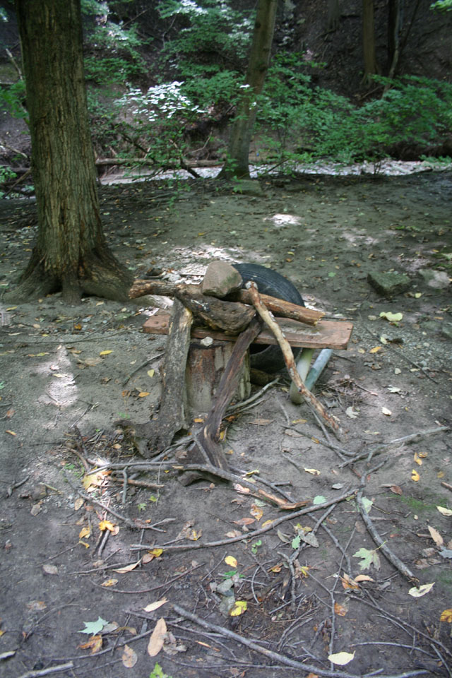
Tribute to Uncle Bill
I don't know what this next one is all about at all. It looks to me like the rendering of some toaster that's been canonized by the Catholic Church or something. "All I said was, 'That piece of toast was good enough for Jehovah!'"
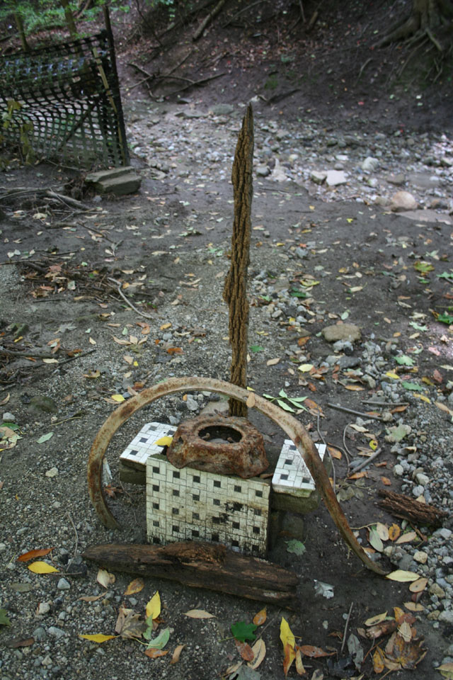
The Martyring of St. Toaster
This next one looks to me like a robot gas station attendant, doing double duty as the pump.

Check the oil, sir?
What can I say? I look at this one, I think: Romanian Olympic Figure Skating Champion.
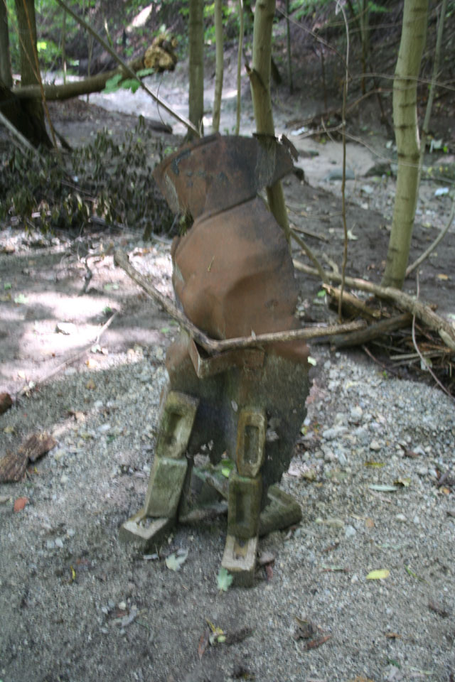
Romanian figure skating champion
This last one, assuming it's part of the same collection, simply looks to me like a chair. If you were some animal who took himself to be King of the Forest, you might have a throne like this made for yourself, it seems to me.
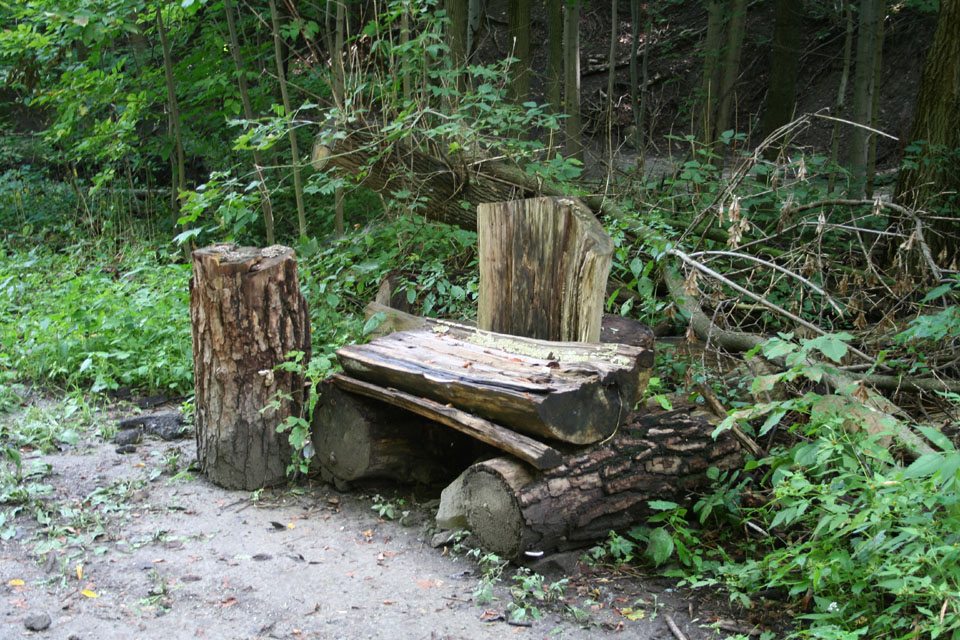
Throne of the Forest King
As with the flood plain around Old Cummer bridge, there's evidence of the flooding from the big storm in mid-August down in this park, too.
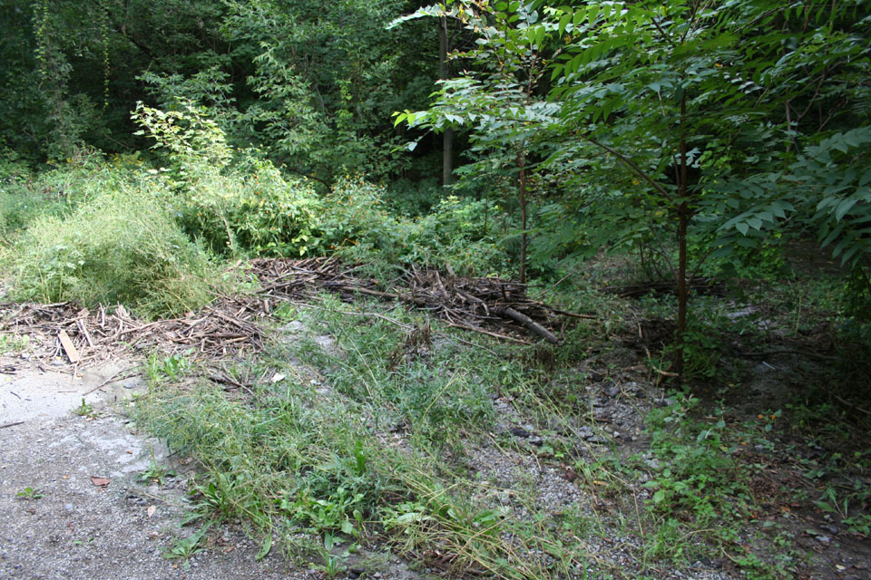
Evidence of flood damage from August
The road itself seems to end at the Metro Works property. However, a path leads off through the property heading north. According to the maps, this path will eventually take you to Sheppard Avenue. I love this shot... it reminds me of places I used to haunt as a kid. The only downside is that damned trash basket at centre right.
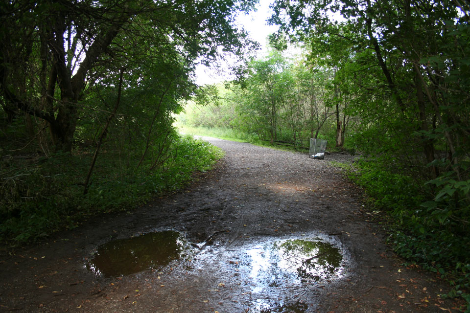
Garbage can ruins shot, film at 11
This is a dove, I think. Surprisingly calm. Kept an eye on me, but let me get within about fifteen feet of it without getting spooked. Whenever I see a dove -- that is, a pigeon that isn't that usual combination of blue-greys that mark it as the sort of city dweller you just know is due to be flattened by a bus sooner or later, I immediately think I'm looking at one of the last passenger pigeons... just that someone missed one or two. I guess if that were true we'd have spotted a few by now.
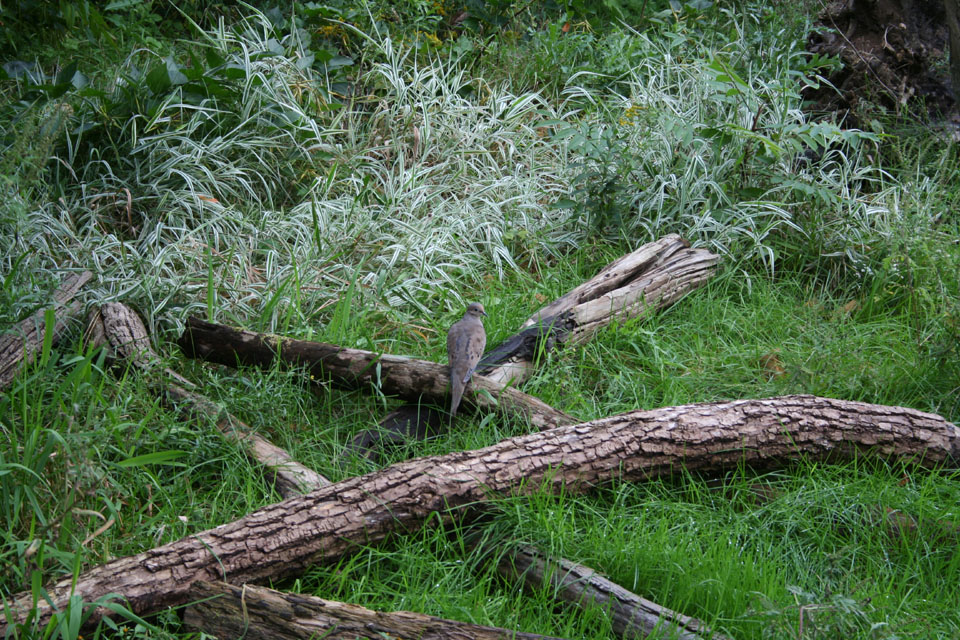
It's the last passenger pigeon!
I don't know what the hell this is supposed to be. If I were in a malicious mood, I might suggest that the raccoons had taken a stab at building a wigwam, and this was the best they could manage.
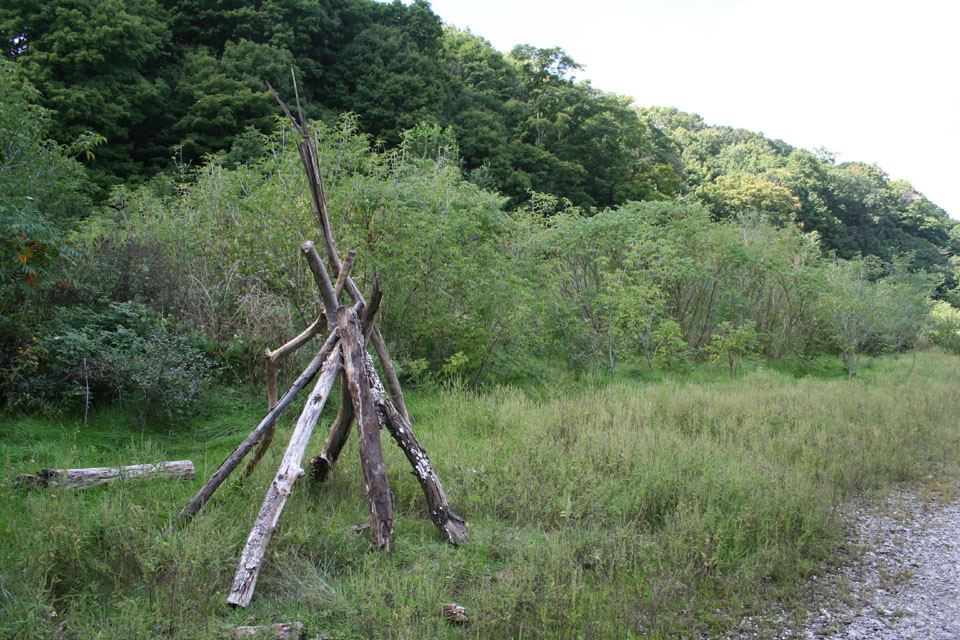
World's Worst Wigwam
The open plain and wooded hills surrounding it on the other side of the fence reminded me of nothing so much as either Wentworth Valley in Nova Scotia where we used to camp when I was very, very young, or else the open brush between my home and the first school I went to in Hamilton (land that is now part of an expressway). Either way, it filled me with warm nostalgic feelings. This place was utterly alive with butterflies; little white ones... hundreds of them.


Kingdom of the butterflies
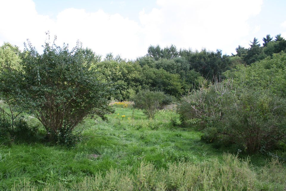
And it feels now just like Heaven comin' down...

Heading down into the woods at the other end of the cleaning, the path splits in two at what seems to be the aeration stream of the sewage treatment plant. On the fence is this warning. More in sympathy than in mirth it occurred to me that the more appropriate city administration sticker for this sign would be "New Orleans", rather than "Toronto".

Looking off to the right from the warning sign, one sees the bridge over the stream. The far side of the bridge represents the far point of my journey; it's where I decided to head back.

Just before crossing the bridge, I saw this rather remarkable sign. Here's something you never expected to see east of Arizona, huh? But coyotes, unlike most other animals besides raccoons and oppossums, have done fantastically well during the European colonization and subsequent urbanization of North America. When I was a teenager in Mississauga, coyotes already had a reputation for eating small dogs in vicinity of Lake Wabuakyne in Meadowvale.
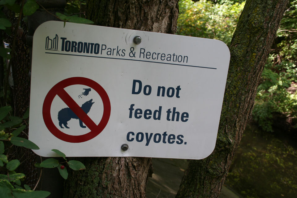
Beep beep!
Far side of the bridge. I almost missed this. I know who this is... I've seen his face before. Nobody was really sure if he was from the House of Lords... But I can't recall exactly who this dopey-looking character is supposed to be. But it struck me funny... it's like Canada's version of Traitor's Gate. Naturally, it would be small, understated, and out of the way, wouldn't it? "Behold the head of a traitor!"

Enemy of the state?
And here we are all the way back along the trails, up the hill, and back on the still-open, surrounded-by-houses part of Westgate Blvd. The manhole cover says 1959, though these streets appear on maps predating that period.
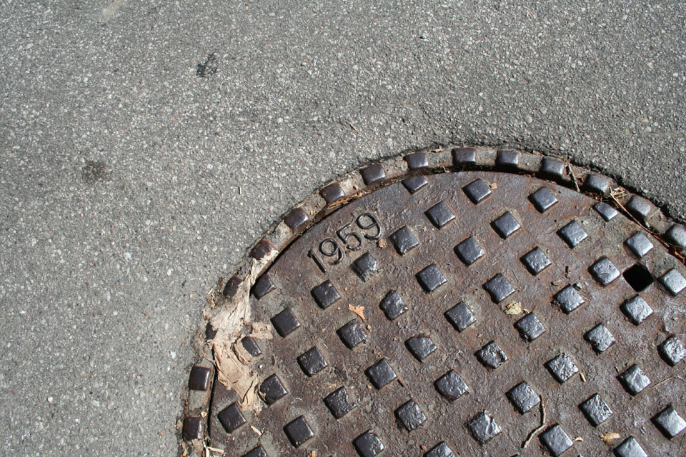
End of the line, 1959
Heading back, this is a view looking northward from the 401 offramp at Leslie Street. You can see the elevated overpass of the 401, and North York General Hospital beyond it. The next shot is taken from just the other side of the 401, just north of it, and just across from the hospital. The sign offers you the way back to the site of our little expedition. Well, you go ahead. For me... it's Miller Time! So to speak. :)
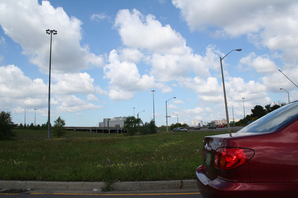
Exiting the 401 at Leslie Street

But if you change your mind...
