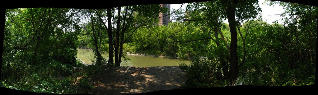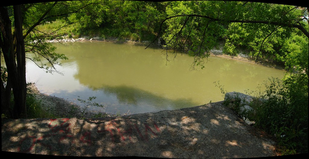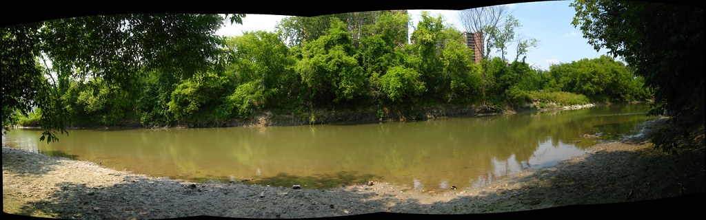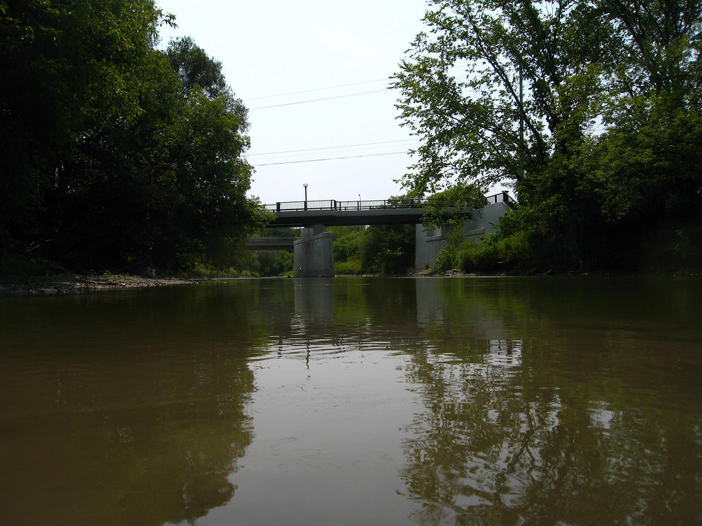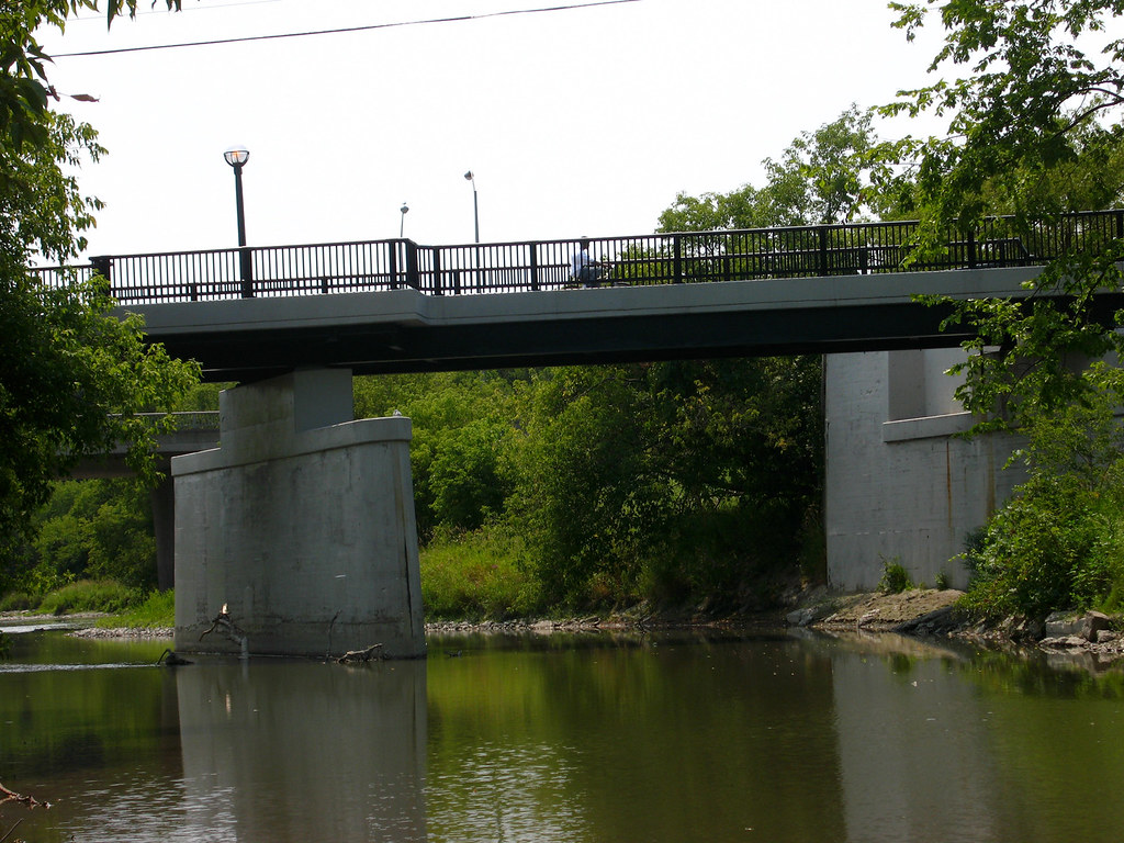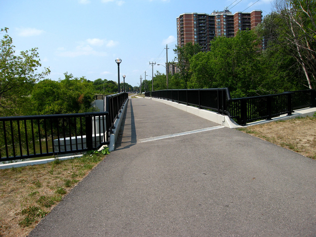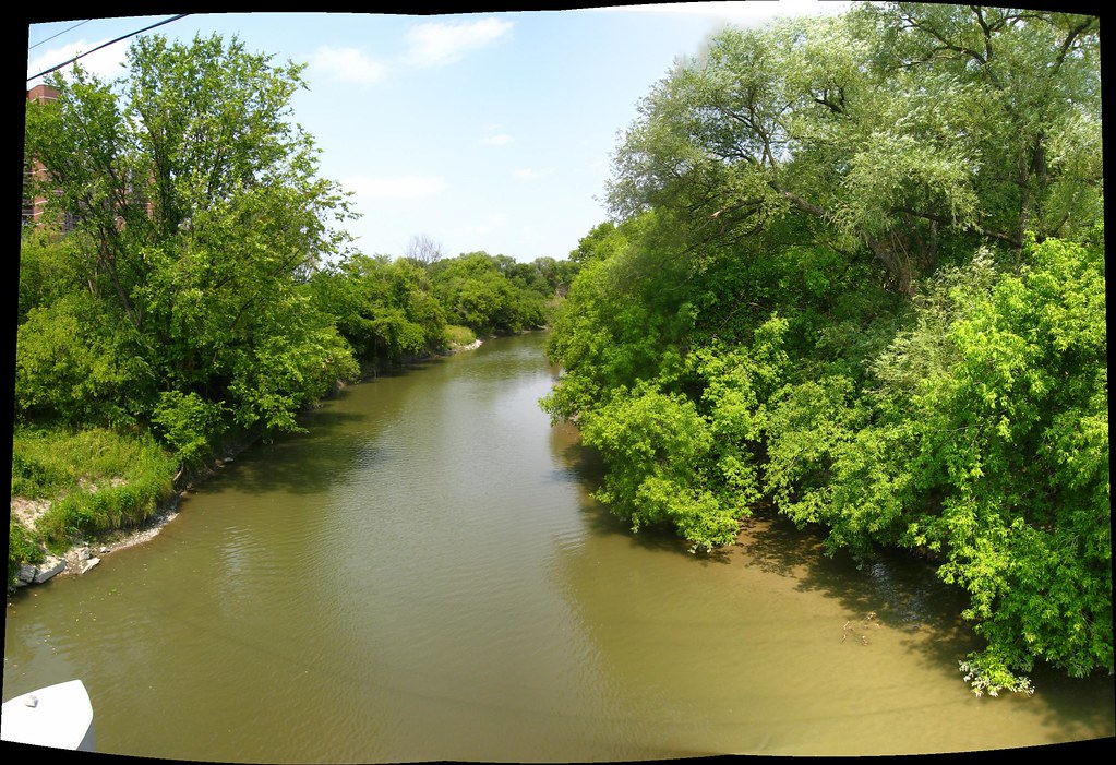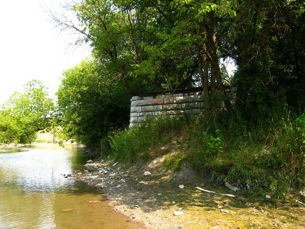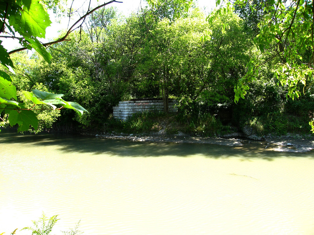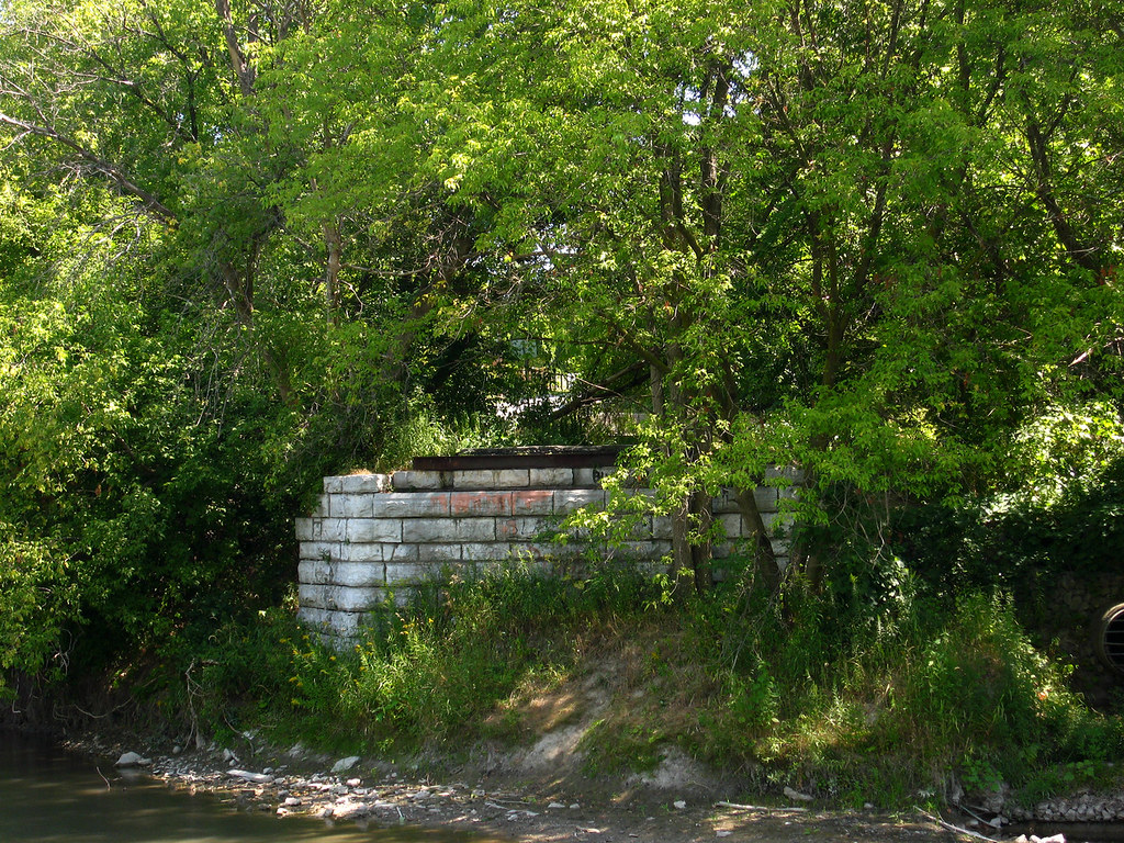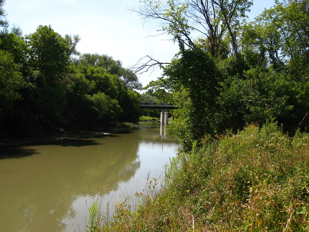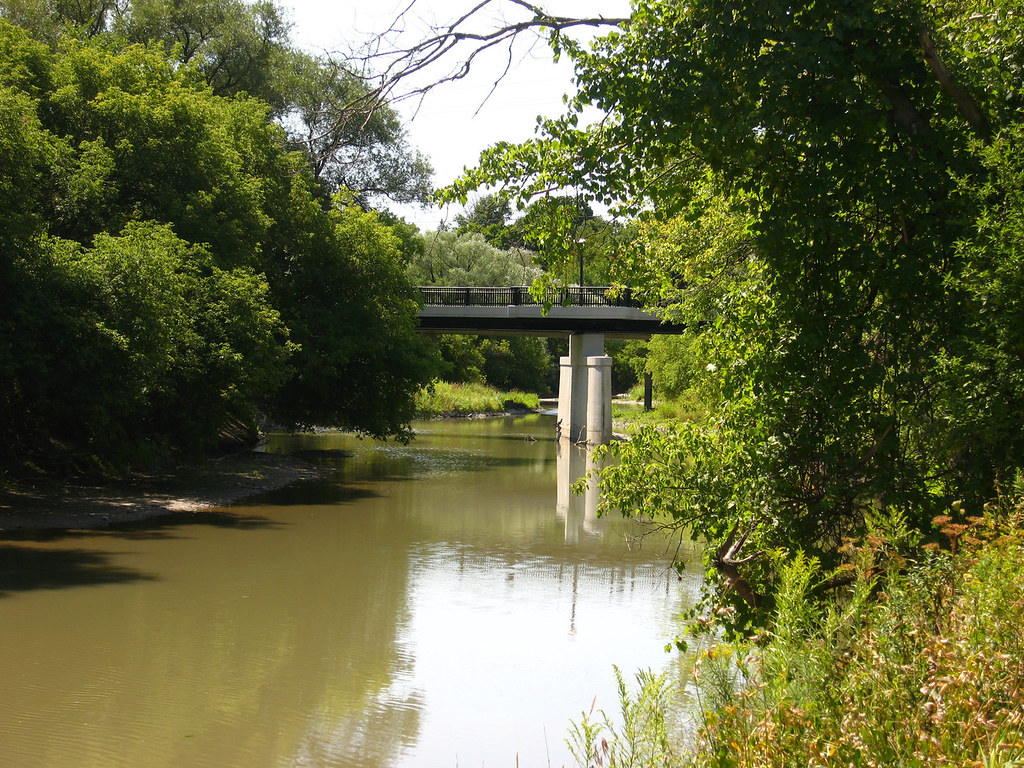


It usually starts with maps. At some point a couple of years ago or so, I noticed that Flindon Road, on what used to be the border between North York and Etobicoke, seemed to once have bridged the Humber River; my supposition was right, it did. I've been there a couple of times and my interest in the place has grown as I've explored it.
Sometime earlier this year I mentioned it to P-Doug as a possible outing, and directed him to Google Maps to show him the area. Casually, almost as an afterthought, he expressed interest in a little slice of pavement, completely isolated from the road system. Obviously, it had once been connected. What was it? I admit, I wasn't initially all that fired up about it. It looked to me like just part of a parking lot that had been abandoned, or something. But Google still had it labeled "Blondin Avenue", and I guess I was intrigued just enough to eventually check it out. Well, it turns out it was once quite a bit more than what I'd imagined.
I found myself at the City Archives on Friday, August 17, 2007, to research the bridge at Flindon Road. In the course of that, I also decided to look up the chunk of pavement. It turned out that Blondin Avenue in Weston was part of a now-vanished section of postwar suburbia. It used to have a substantial number of homes on it. For about fifty years, dozens of families made their homes there. Equally surprising to me was the discovery that at least as many homes had once been on the south side of Walsh Avenue, which today seamlessly turns Albion Road into Wilson Avenue and vice versa. All of this seems to have changed in just the last decade or so. Today, it's virtually erased from the city, memory, and even the eye. Almost from the imagination.
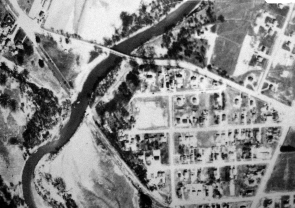
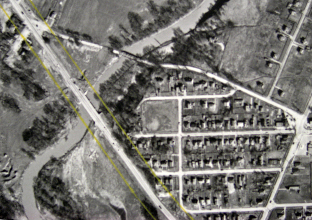
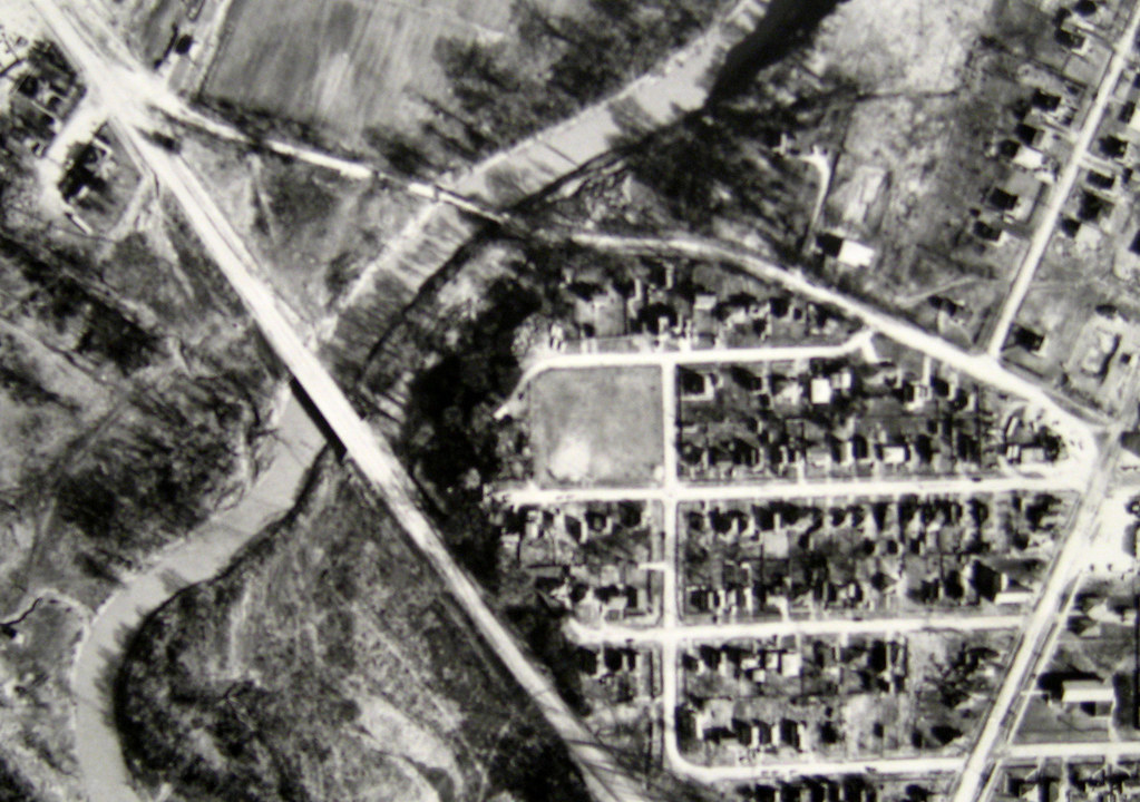
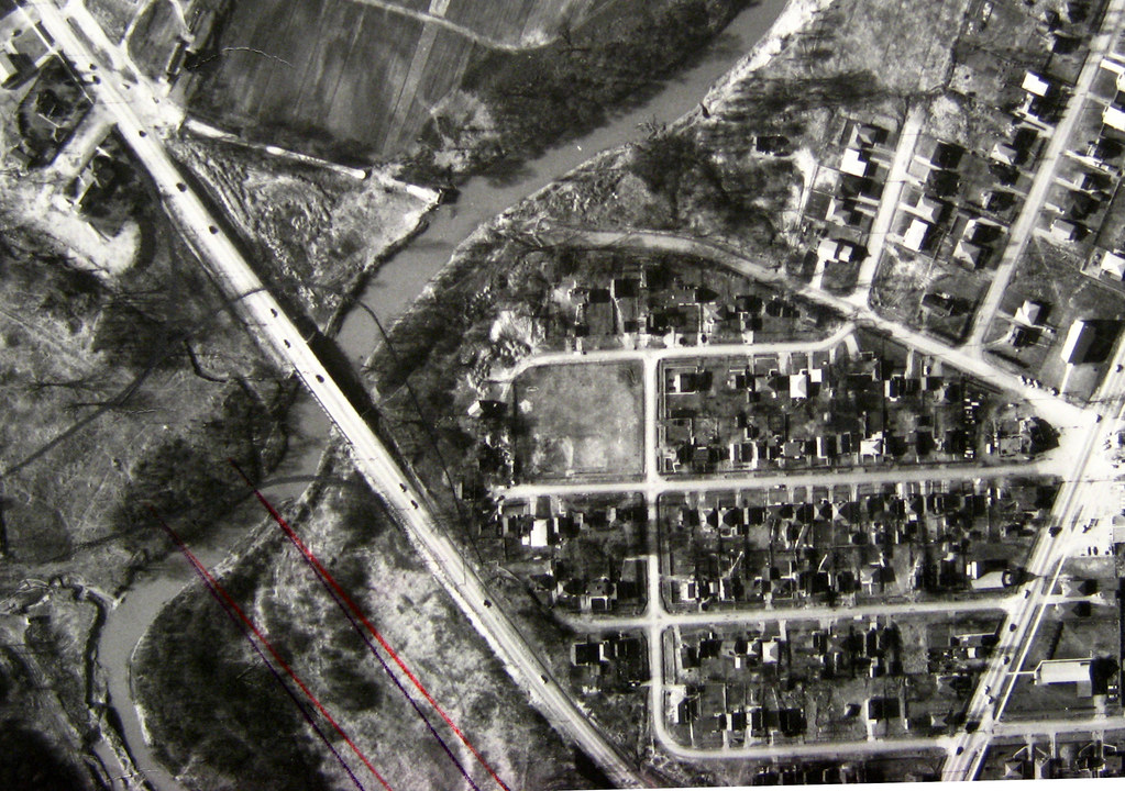
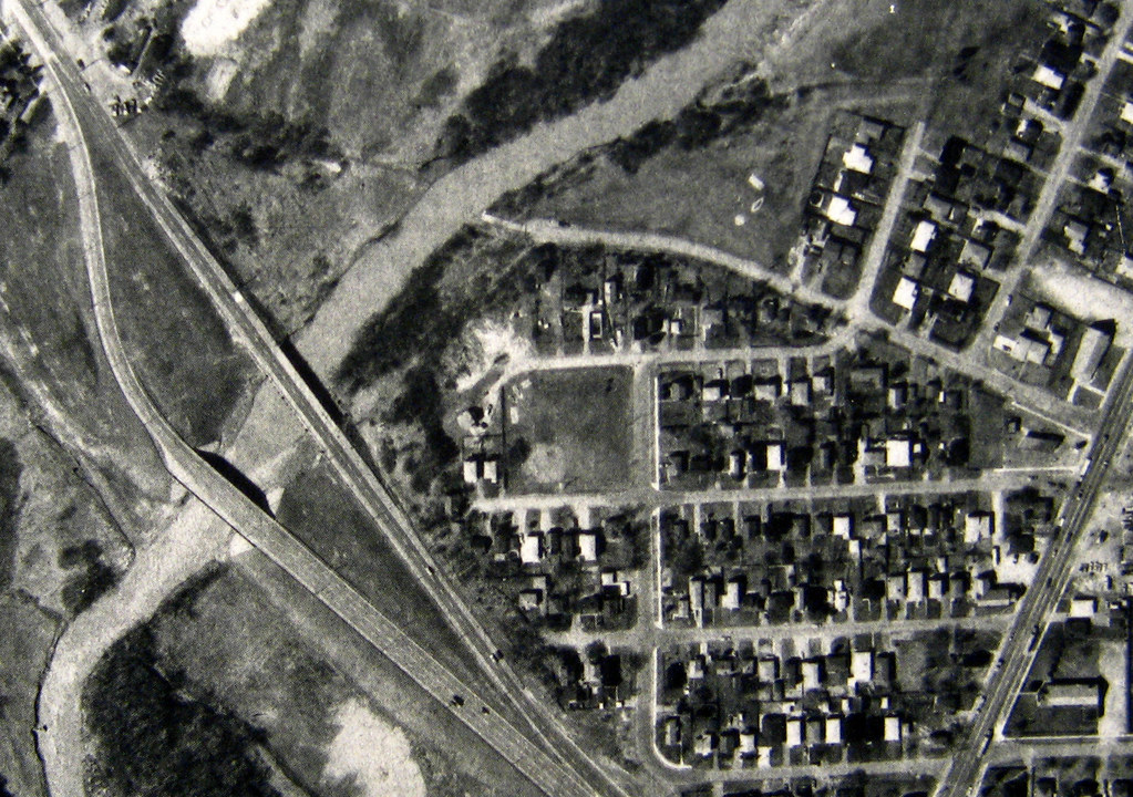
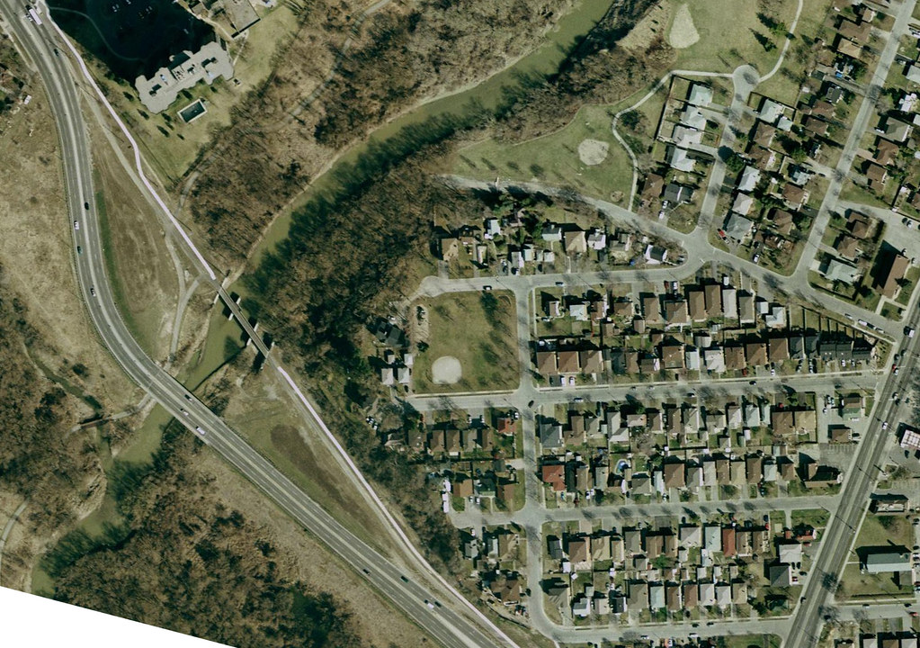
Let me start you off with some of the images I got at the Archives, matched to a modern image courtesy of Google Maps.
 Blondin Road is the little diagonal cut at the lower left. This is how the neighbourhood appeared in 1950. At this time, the 401 had not yet been built. You can see that the handful of homes on Blondin are among the very first in the entire area.
This is how it appeared in 1959. The 401 existed by then and had an pitchfork-shaped offramp at Weston Road just south of what you can see in this view.

Here's how the neighbourhood looked in 1975. You can see the "new" offramp system of the 401 now, built in the mid-60s. Notice that Wilson Avenue no longer connects to Weston Road, but at the time, Blondin Avenue itself still did. That must have made for some intense moments as people barreled off the 401 into people trying to make turns at 15 mph from Blondin onto Weston. Little wonder that the shots of 1983 show Blondin ending in a cul de sac just shy of Weston. Take note, too, of the plaza at the increasingly complicated intersection of Albion and Weston at the upper left.

Here's how the place looks today, more or less. Blondin is cut off from the road system, and all its homes are torn down. Amazingly, and inexplicably, so are all the homes on the south side of Walsh... with the single exception of one, #35, which you can see at about the centre of the image. Even the plaza at Albion and Walsh is gone, replaced by a sales office for condos. This image is a screen cap from Google Maps.
Now here's some of what I saw when I was there Saturday, August 18, to explore what I'd seen from "above"...

Looking down Wilson Avenue eastward. To the left is Walsh, which in modern times sweeps traffic from Albion to Wilson and Wilson to Albion. What you're seeing here is a largely forgotten, but still open-for-business (literally) butt-end of Wilson Avenue... it's still officially called Wilson Avenue, in fact.

Turning around, this is the view. Until the mid-60s, what you would have seen would be Wilson Avenue straight to Weston Road. When the 401 was expanded from four lanes to the current express-collector system in about 1965, Wilson was cut off from Weston by the land requirements of the new interchange of the 401 at Weston Road. But the intersection of Wilson and Blondin, just the other side of the heap of rubble, was still open. Until fairly recently (and I'm not sure exactly HOW recent; I'm hoping some of you might know), there would have been houses on the right beyond the foreground tree.

Climbing the rubble that segregates Blondin from the street grid, this was my first view of what was once a tidy residential street. This is Blondin Avenue as it looks today. Jaw-dropping. It looks like something out of the Love Canal Photo Album. I think this scene would be heartbreaking for anyone who once lived there, especially if you grew up on this street. I'm no expert but the rate of decay here suggests to me that the neighbourhood was torn down 10-15 years ago. Does anyone know for sure?

This is a shot of Blondin Road as I moved past a fallen tree above and headed towards a rubble field that seems to have been dumped in the mid-point of Blondin Avenue.


A couple of views across the field that was once two rows of houses and their adjacent backyards. The second, infrared, shot is probably the remains of someone's driveway.

Humanity has a knack for making lemonade from lemons. Here, in the debris field in the middle of a one-time residential street, someone is growing vine vegetables. Looked like plum tomatoes.

Clearing the debris field and catching an unhindered glimpse of the remainder of the road towards Weston.


A couple of shots approaching the end of Blondin Avenue, where it once met Weston Road.
 Here's the cookie. Today, and for over 20 years now, Blondin Avenue ends in a cul de sac at the very edge of Weston Road, which you can glimpse through the gap in the trees at the left. Beyond the trees on the right, you would have been able to see a plaza at one time. Until sometime around 1980 or so, this would actually have been an intersection exchanging traffic between Blondin Avenue and the northbound lanes of Weston Road. Immediately to my right once stood what appear to be a couple of large multi-unit low-rises, and across the street on the right, there were bungalows... single-unit homes. Just off to my left would have been the TTC terminal you will see in one of the shots below from 1968, showing a bus turning at this intersection, viewed from the other side of Weston Road.

These signs are visible from the field just south of Blondin Avenue and a bit north of the 401 offramp to northbound Weston Road.
At this point, I headed back. Blondin road takes about ten minutes to walk, but part of that is getting over the three or four dunes of sandy debris dumped midway. Anyway, the shots from here on in are the return trip away from Weston and towards Wilson again.

Heading east in infrared, just before the resumption of the debris field in the road.


Views of Blondin heading towards Wilson after clearing the debris field.

This once would have been the view of anyone heading off the work, turning onto Wilson from Blondin... before all the crap was dumped here, of course.
Having cursorily explored Blondin, I decided to walk up Walsh, the other half of this devastation. I was particularly interested in the state of the one, solitary survivor of all this...

Somebody's driveway once, fronting onto Walsh Avenue.

This is the only house still remaining on the south side of Walsh, #35. As you can see by the car and the state of the place, someone still lives here. This is a great mystery. Why only this place? Did everyone else sell except them? Why didn't they sell, then? What's to become of this one, single remainder of that lost neighbourhood?

And here it is... looks like it could be the reason for it all. At the corner of Walsh/Albion and Weston Road, where the plaza used to be, is now this small sales office for this development. I wonder how long they've been sitting on the land? Have they owned it all along, or did they just buy it up once the homes were torn down... and if so, why were they torn down in the first place? Are these guys waiting for the moment they can clear #35 off the block as well?
...Most of the above is cribbed from my post on Urban Toronto from late August. Other people there chimed in with interesting information.
Construction plans for the site... Notice the gap for 35 Walsh Avenue. I'm reminded of that cartoon where Bugs Bunny fights off the burly construction worker to save his burrow, and a huge apartment building features a semi-circular divot all the way up, clearing his property. :)

An aerial photo, looking southward, from 1953...

And perhaps most amazing of all, the following information and image...
Blondin was well known as a bus loop until the interchange was built - it was the end of the Weston 89 Trolley Coaches, as well as serving Wilson and Woodbridge buses. I have a postcard somewhere that shows a Marmon-Harrington Trolley Coach pulling out of Blondin Loop (with the post war 1 1/2 floor houses behind) in the early 1970s.
The Westchester sales office has been abandoned for at least a year now. Don't know what Sorbara Group is up to there anymore.
There were a few more houses on Walsh a few years ago, they all went quite slowly, I think.
Here's the postcard. It's by Ted Wickson (TTC staff photographer) from 1968.

The image shows a bus turning onto southbound Weston Road from Blondin Avenue. The houses in the background are, of course, gone... as is the terminal on the right... and Blondin Avenue itself, actually. This turn would have been impossible circa 1980 when Blondin was disconnected from Weston.
I came back about two weeks later with P-Doug and we had a look around.

Here's the path that once led from the disconnected end of Blondin Avenue to Weston Road. The path you see here would once have been the sidewalk to the left of the turning bus in the shot above, and in close proximity to the now-missing homes in the same image. I find that idea deeply wistful, verging on depressing. Imagine how it would be for people who once called it home.

This is where the strip plaza on Weston between Blondin Avenue and Walsh Avenue stood until sometime in the 1990s.