


I'd been meaning to go out there again for a long time, and a couple of weeks ago I did, largely because in studying some maps, I came to realize that the ho-hum footbridge that a little to the west that I'd seen and hiked to that spring was once, in fact, the bridge that carried Albion Road, so I wanted to go back there and see that as well.
After that, last Friday's trip to the City Archives sparked my interest in Blondin Avenue, and while I was there, I decided to explore the far side of what was once Flindon Road as well, on the Etobicoke side. Here are shots from both those trips.
First, the requisite background material. These are shots that show the progression of Humber crossings. The means across has been moving steadily southwest for the past 50 years or so.
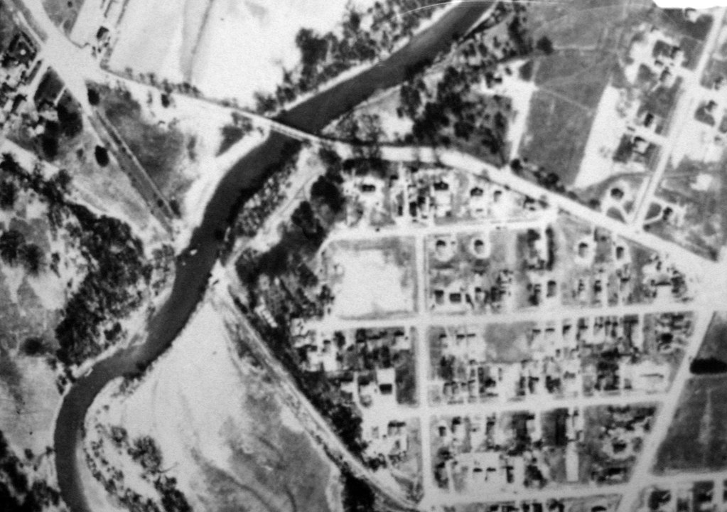
1950. The biggest surprise I got here is that not only was there indeed a Flindon Road bridge (it's been on maps, but this was the first time I'd seen it in a photo), but there's no other crossing! The bridge at Albion Road doesn't exist. You can see broad hints of Albion Road's course, but no bridge. I don't know if this is just the rough-in for the road, or that Albion already existed, but had either never had a bridge, or it had been somehow destroyed. That's hard to imagine, though. This was still several years before Hurricane Hazel.
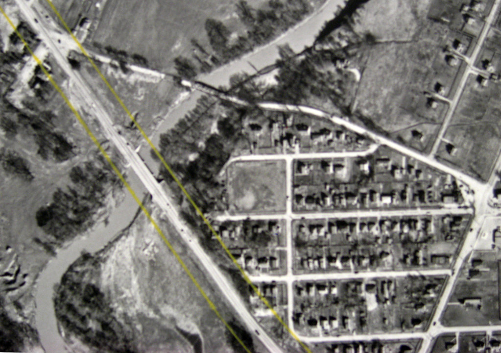
1956. The first Albion Road bridge has been built, but it still shares the duty of carrying traffic over the Humber with Flindon Road. The interesting thing is that today, neither of these bridges serves this purpose. The latter is, of course, completely gone, and the former has been reduced to carrying pedestrian and bike traffic.
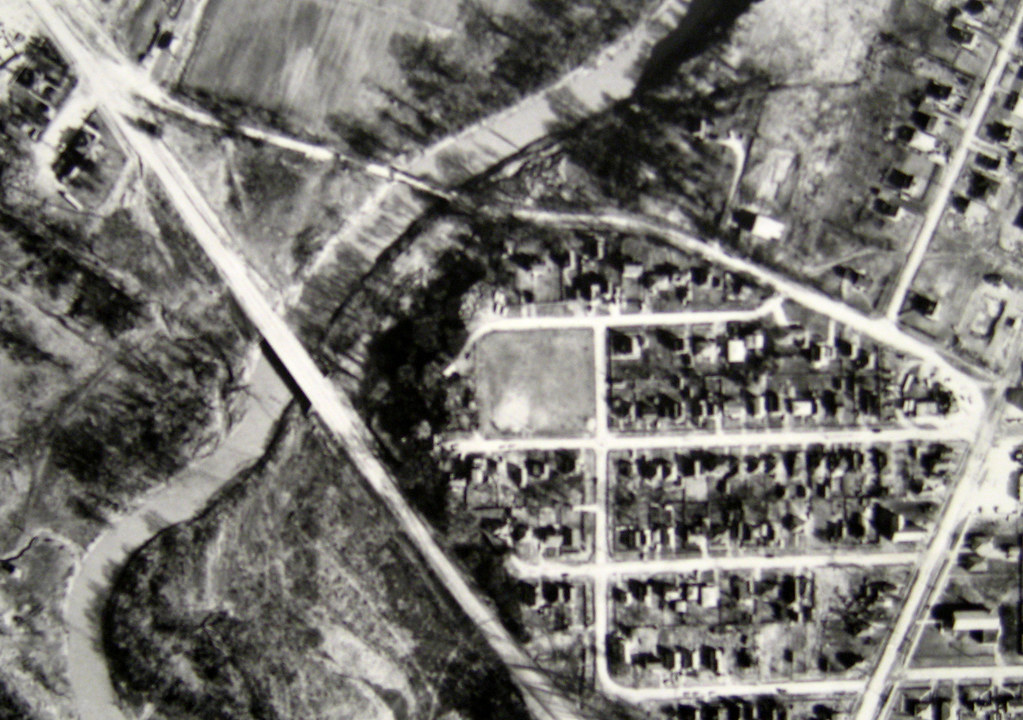
1959. Not much has changed since 1956, aside from the addition of a scattered handful of new homes.
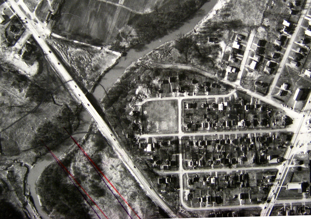
1962. The year before, Flindon Road bridge was still in the aerial shots. But in 1962, it's been removed. Note the highly evident abutment on the northwest Etobicoke side. It's completely gone today. If you look closely, you can see two red pencil marks drawn by a planner that predict today's course of Albion Road and where the second bridge was to be built.
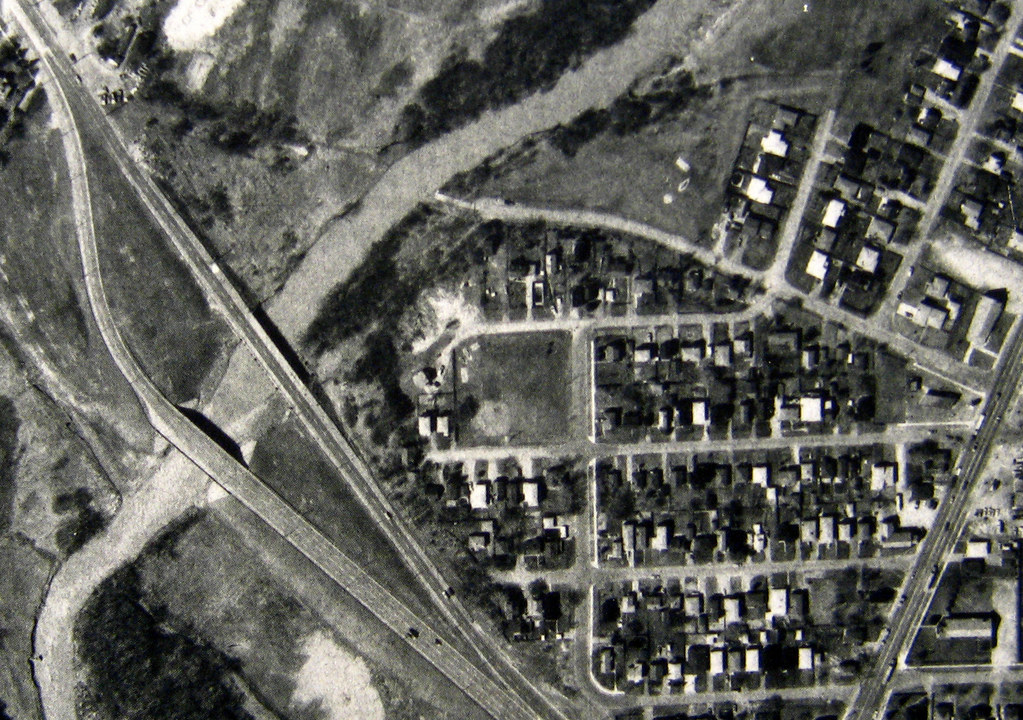
1975. Sometime after 1970 (when it doesn't yet appear in aerial shots) and 1975, the second bridge was built. Northbound traffic on Albion uses the old bridge, and southbound uses the new. It was to remain like that until sometime in the 1990s. As for Flindon, you can see that a few hints of its course still remain on the Etobicoke side.
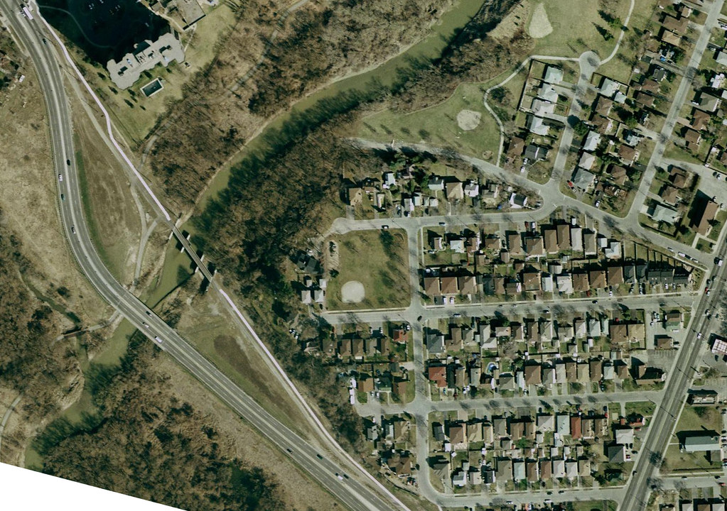
2006. The old bridge has been retired to its current role carrying pedestrians and bicyclists. The new bridge carries four lanes; two northbound, two southbound. Flindon has completely vanished on the Etobicoke side.
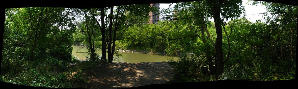
August, 2007. This is approaching the very end of Flindon Road on the North York side, looking across the Humber into Etobicoke at the opposite bank, where no parallel structure exists.
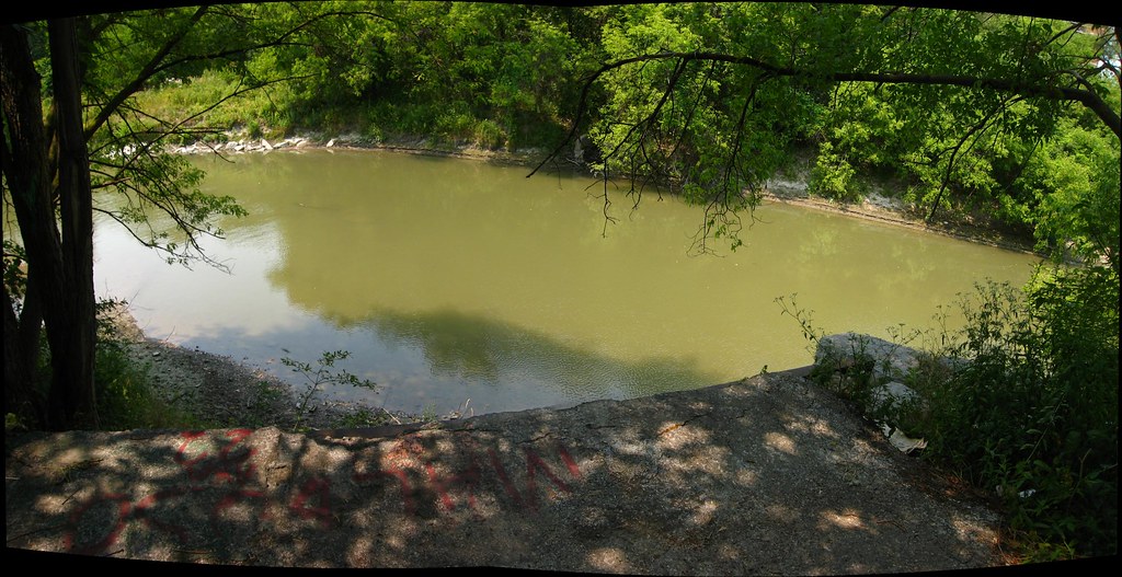
The last few inches of Flindon Road (it's actually closed many yards behind me, of course). But don't worry! All you have to do is make sure the De Lorean is going 88 miles per hour and set to 1961 before you reach this spot, and everything will be fine!

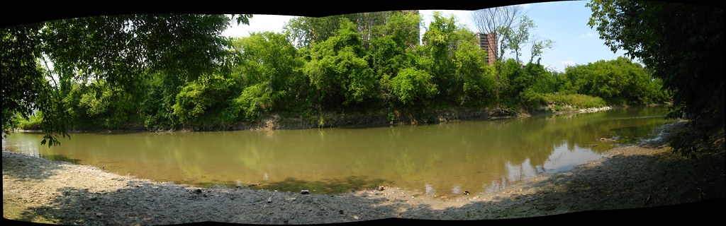
Between bridge locations at the river level. The small clearing at the extreme right on the far bank is where Flindon Road bridge once crossed into Etobicoke. Off to my left, out of sight, is the first of of the Albion Road bridges.
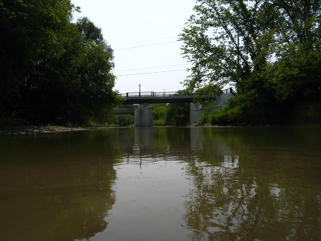
The first of the Albion Road bridges, seen from the river level. Beyond it, you can just glimpse the new, current traffic bridge.
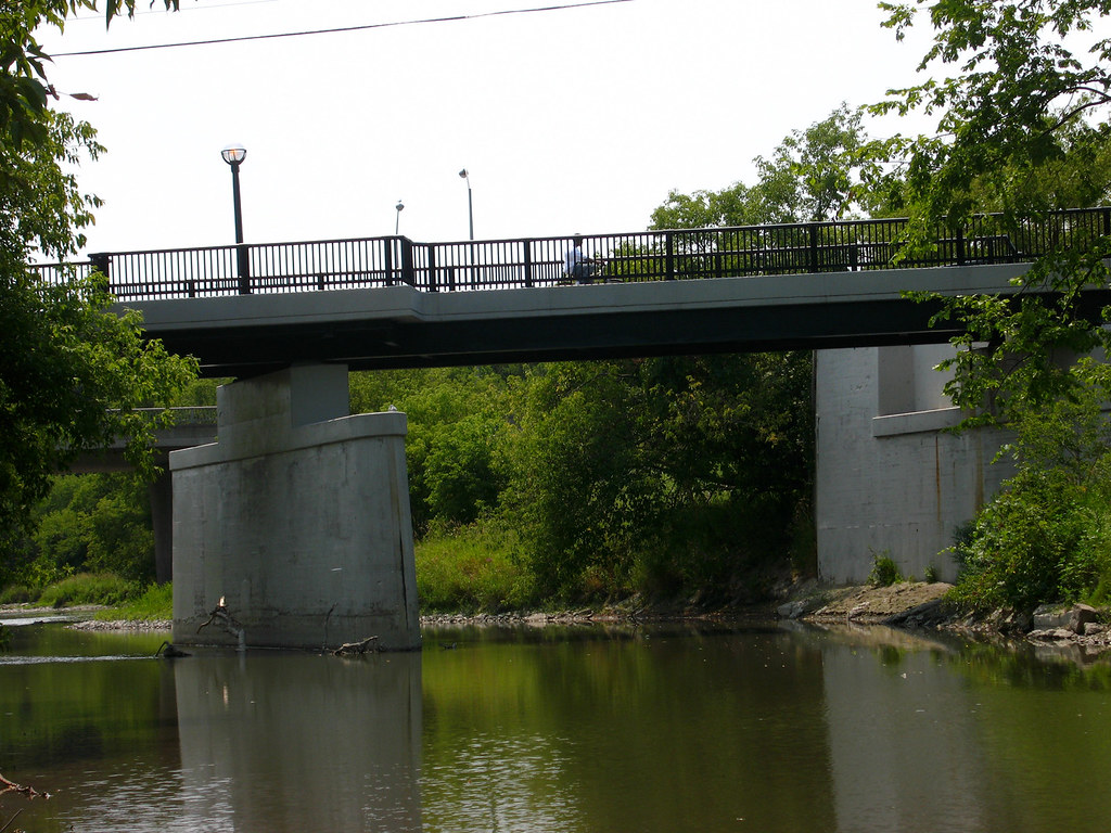
Closer still, this is the first Albion Road bridge. It was the cause of the demise of the Flindon Road bridge, but itself has fallen victim to the success of the newer Albion Road bridge beyond it.
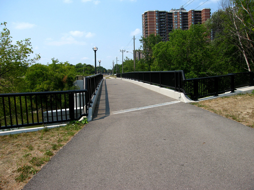
The is the first Albion Road bridge, facing west into Etobicoke. From the 50s to the early 70s, this carried automobile traffic both ways. From the early 70s to sometime in the 90s, it carried traffic heading northwest, facing in the direction I'm looking in the shot. After that, it became what you see here... a small bridge reduced to barely one lane in width for strollers, joggers, and cyclists.
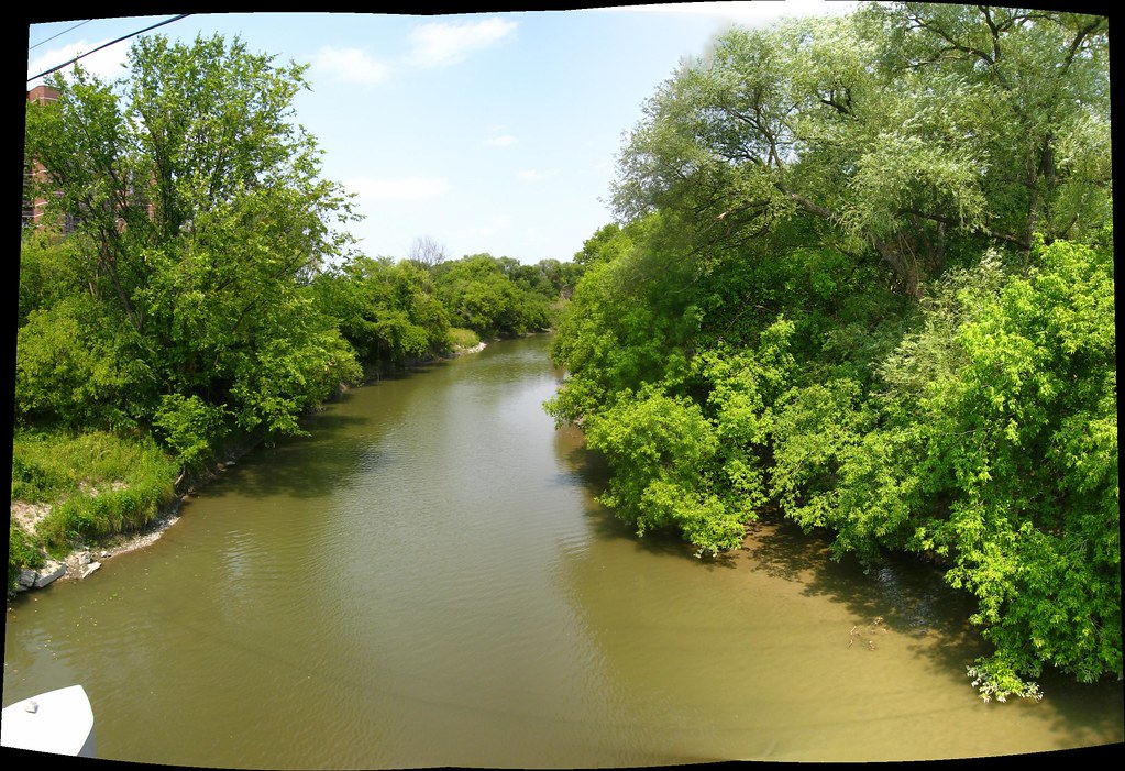
Looking northeast upstream along the Humber from the first Albion Road bridge. Just about dead centre is the little open lip on the west bank where Flindon Road used to cross the river.
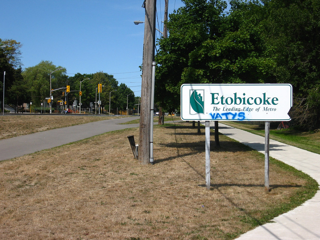
This sign is almost pathetic in its anachronism. At one time, maybe a little over ten years ago, this sign would have been at the very roadside of Albion Road, welcoming drivers who passed by just a few yards to the left. Now all the traffic is much further away, and it's doubtful if the sign can even been seen. Furthermore, Etobicoke, and Metro, at least as such, themselves ceased to exist just about ten years ago.
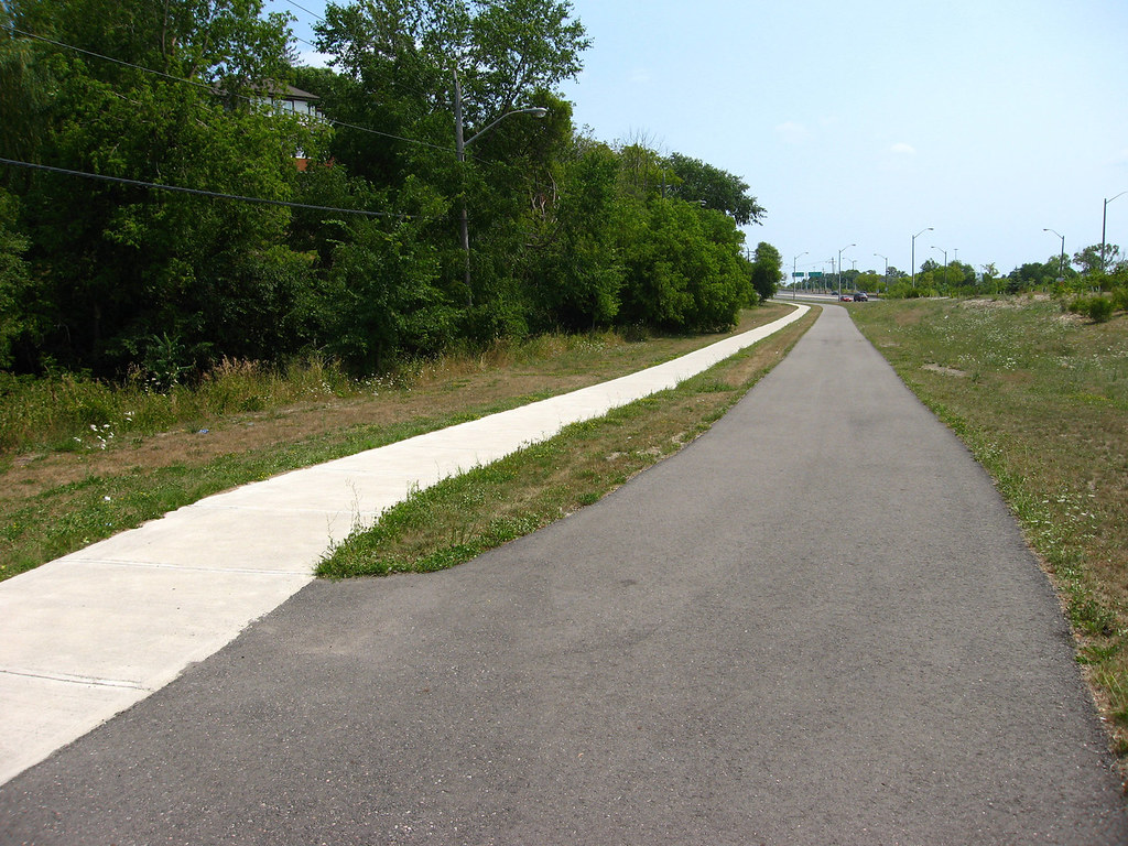
This looks back to the southeast with the first Albion Road bridge just behind me. Not too long ago, I would have been standing facing oncoming traffic. This was the route you took heading northwest to cross the Humber on Albion. Even further back in time, it was the route of Albion Road, period.
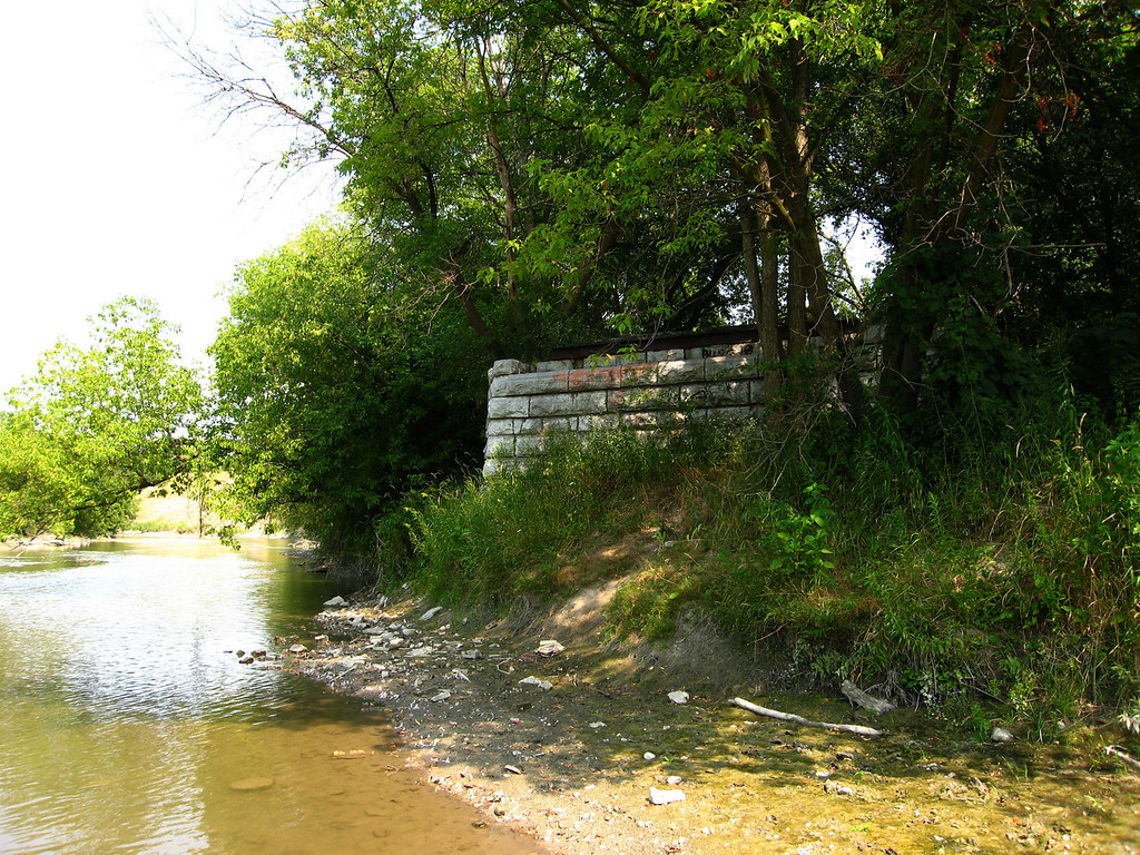
A look at the North York abutment of Flindon Road bridge from the river.
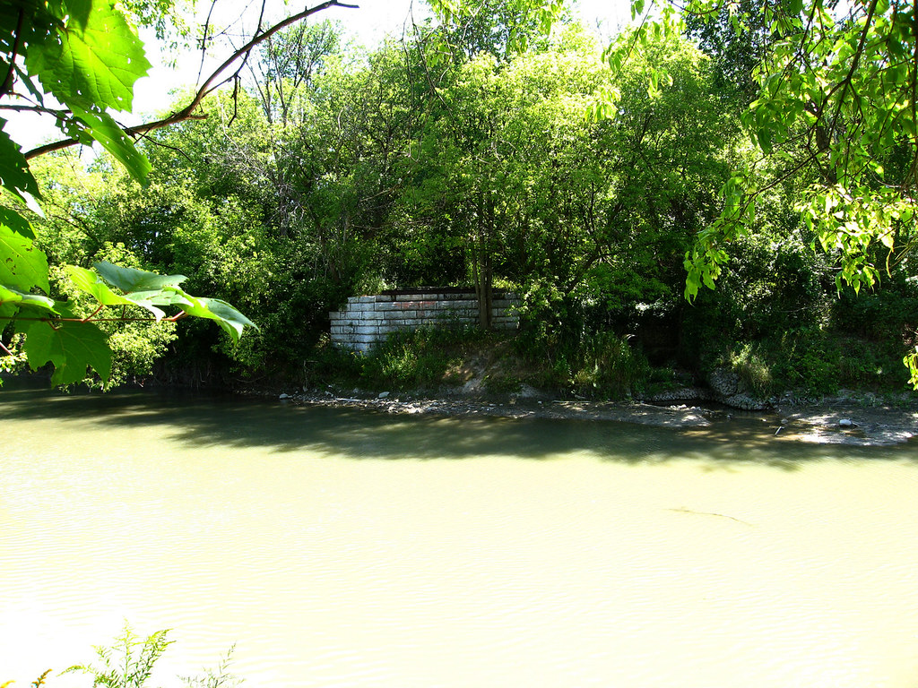
Here I'm standing on the Etobicoke bank pretty much exactly where the western abutment of Flindon Road once was, looking across at the North York side.
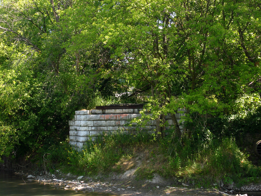
A tighter shot of the North York abutment seen from the Etobicoke Flindon clearing.
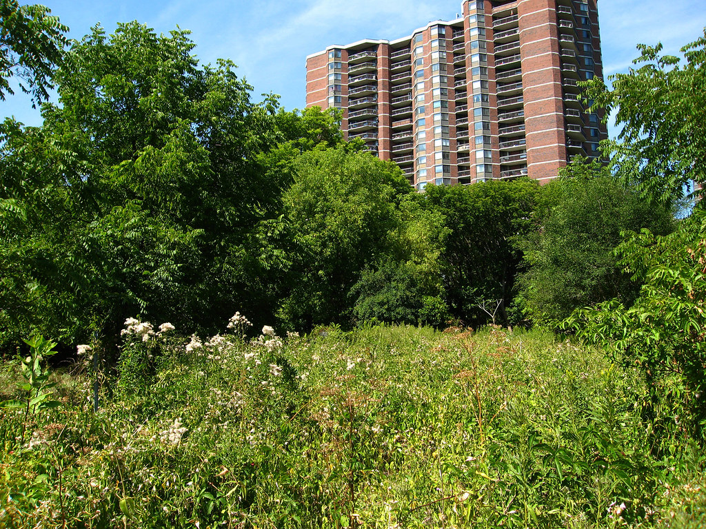
And turning around, this is the clearing. Once upon a time, fifty years ago, this was the road up from the Humber into Etobicoke. Beyond the screen of trees is a park pathway.
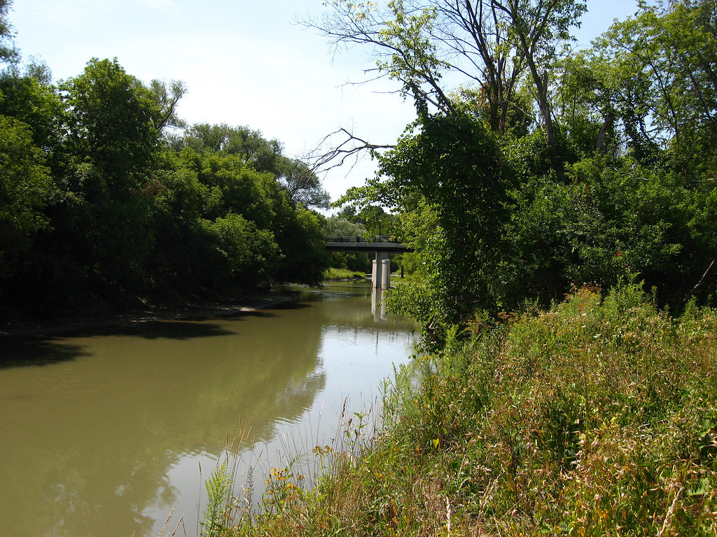
Standing on the grave of Flindon Road bridge, looking downstream at the Albion Road bridge that condemned it.
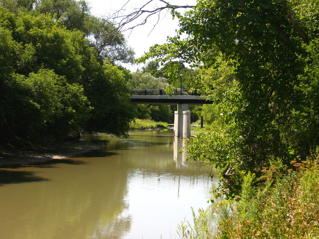
A tighter view of the first Albion Road bridge seen from the Etobicoke side Flindon Road clearing.
Photographs of Flindon Road bridge during the flooding caused by Hurricane Hazel...

Another view of the same bridge... the notation where I found it indicates that the view looks west, so my guess was wrong. I started wondering that when I noticed all the junk was piled up on the right side, which would be upstream. Oh well.

It's possible that this was the original Albion Road bridge, predating even the bridge at Flindon Road. The photo dates from about a hundred years ago. If so, this bridge would have stood where the current foot bridge crossing is today. A lot of water under the bridge... pardon the pun.


