


Not too long ago, Sheppard Avenue was a rural sideroad that spanned most of what was first York County and later the countryside fringe of Metropolitan Toronto into which the city would grow, in the form of North York. It crossed the West Don River between Yonge and Bathurst Streets over a small, workable bridge that only just managed to leap the water from one side to the other.
The uppermost image shows the bridge, seen from the south on the east side, about 1920. It was probably fairly new at that point. The next two shots show the bridge in the autumn of 1954, after the bridge had been declared unsafe in the wake of Hurricane Hazel; presumably, it was replaced by the slightly more modern, steel-guard railed bridge in other pictures. The middle shot is also from the south and east side; the bottom of the three from the north and west side, taken in the vicinity of where Don River Boulevard once met Sheppard Avenue at a level intersection.


This newer bridge from the 50s can be seen below in these shots from 1962, on the run-up to this "new" bridge being slated for a much more ambitious replacement, as necessitated by increased and projected traffic as the north end began its inevitable conversation to suburbia.
These two shots show the newer bridge as approached from Yonge Street in the east...


...And these two below show the bridge as approached from Bathurst Street in the west.


In the second of these shots, if you look closely, you can see a truck turning onto a road beside the large building. I have no real idea what that building once was, but the truck is turning off Sheppard and onto Don River Boulevard, which is no longer possible. At least, not that way.
In 1962, Sheppard Avenue over the West Don looked like this. The major north-south street at the middle left is Bathurst Street, which Sheppard met then at a dogleg that was amended in the 60s. You can see that Sheppard had to follow the lay of the land up out of the valley on the west side. This is, of course, typical of rural road prior to urbanization, when they're usually given their chance to damn topography and take on a straight Roman character (as Sheppard does here today).

Construction on the third bridge, the current one, seems to have begun in 1963. The bridge from the 50s, pressed cheek-to-jowl with its successor, seems to have been in service until the new one was opened, after which it vanished, with no trace that I've ever been able to find.
The top view shows the bridge under construction as seen coming from Yonge Street in the east. The bottom two views show it as seen coming from Bathurst in the west. Most remarkable is the view of the little bow arch bridge that carried Don River Boulevard over the West Don just north of Sheppard Avenue. The top two shots also show the 1950s bridge in situ relative to the 1964 bridge, still doing its bit moving traffic... if only, in this case, construction equipment. I suppose Sheppard was closed to regular traffic here for a year or so at the time.


An aerial view of Sheppard over the West Don during construction, 1963.

By 1964, the bridge was completed and ready to be open. My guess is it was completed at some point in the winter of 1963-1964, and opened in the spring. These top two shots show the view of the new bridge, snow-dusted and nearly free of any kind of tracks, seen from the east side, as if coming from Yonge Street. The bottom shot shows the view as if coming from Bathurst Street in the west. If you look closely in the top two shots, you'll see a snaky road on the south side of Sheppard (on the left). That's how one now gets to and from Don River Boulevard. The road slips under the new bridge and heads north to meet the little street that once connected directly to Sheppard, but is now towered over by it as it passes by fifty or sixty feet overhead.


The aerial shot from 1964 looks like this. There's Sheppard, shooting arrow-straight across the valley, all but ignoring its old friend Don River Boulevard, with its serpentine umbilicus to the lip of the valley's west side. I still don't know what that big building squeezed between the river, Sheppard, and Don River Blvd. is, but it's gone now.

Back in the 60s, bridge openings in fringe Metro were a big deal. People got their names on plaques, there were ceremonies, even parades. Here's some of the pomp and circumstance from the opening of the "new" Sheppard Avenue West bridge. The shots that show the bridge span are taken from the east side facing west.


I don't recognize anybody in these shots (above); presumably, they're the mucky-mucks from Metropolitan Toronto in general and the Township of North York in the mid-1960s (which went on to be a borough, then a city, and then ceased to exist altogether when Toronto annexed all of Metro in 1998); no doubt one of them is North York Reeve Norman Goodhead (doesn't that sound like the name of a Bond villain?). I had hoped to spot John Robarts, Ontario's premier at the time, in the crowd, but I don't. Robarts was one of the "Red" (socially progressive) Tories who ran Ontario from 1943-1985, the last being his successor, Bill Davis (two of a mere handful of Tories here in Canada I particularly admire). He was kind of a tragic figure, mingled with greatness: he lost an adopted son to suicide in the 1970s and, after a series of debilitating strokes, committed suicide himself in 1982. As I understand it, he did it in the shower, so as to minimize the inconvenience to those who would have to deal with his body.
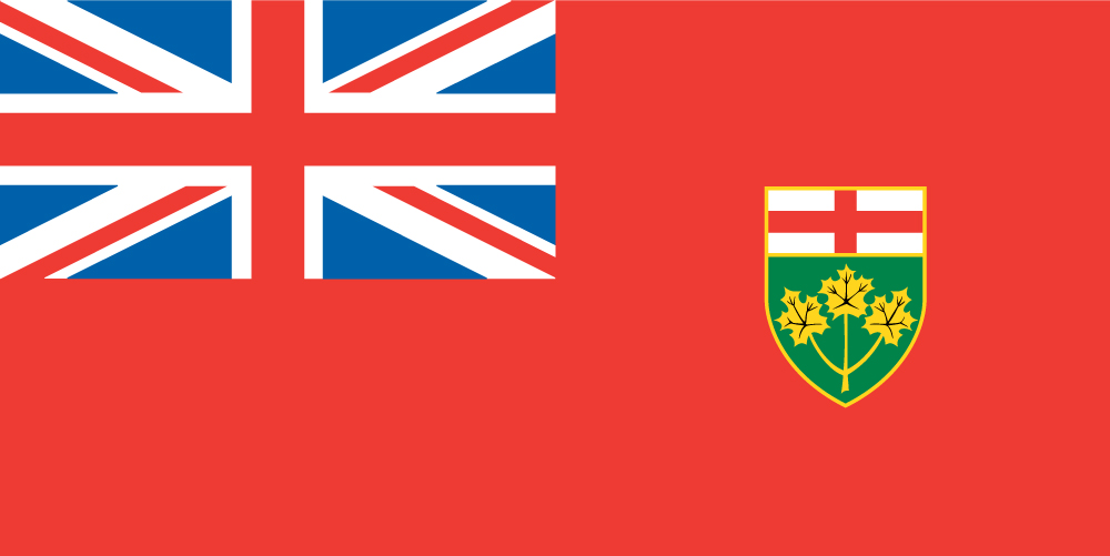
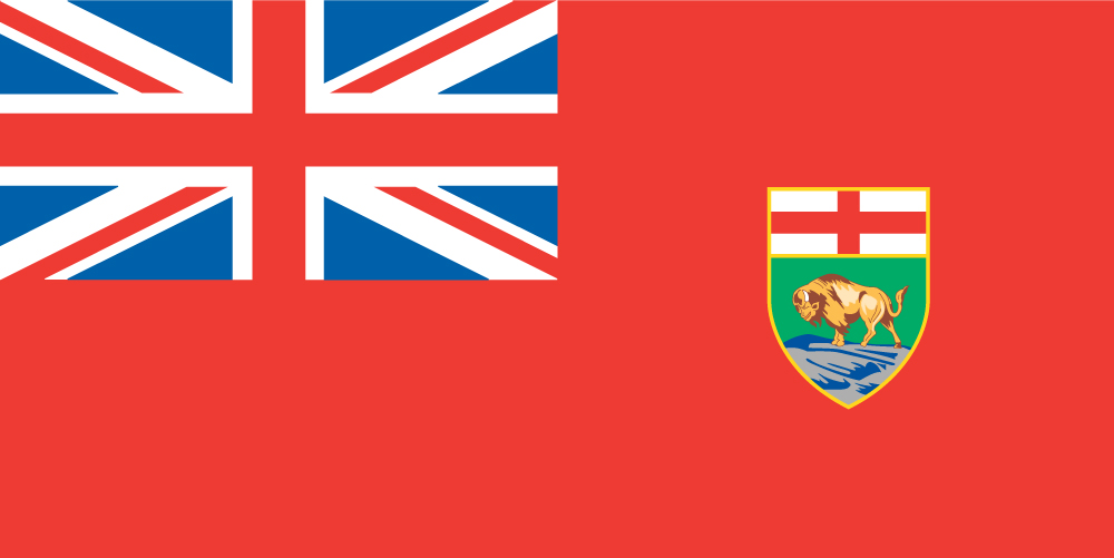
I notice an interesting detail on the fourth shot: the flag officiating over the whole thing is the Union Jack. This kind of thing was still very common in Ontario only 45 years ago, though it was rapidly coming to a close. Technically speaking, in 1964, neither Canada nor Ontario actually had an official flag of its own. Canada was using the British Red Ensign defaced with the shield from the federal coat of arms. Ontario was using, well, the Union Jack. Within less than a year after the taking of these shots, the Flag Debate had paralyzed Parliament for months, a design was settled upon, and Canada's maple leaf flag went up the pole officially Feb. 15, 1965. Within months, loyal, blue Ontario seized upon Canada's discarded Red Ensign, stuck the province's arms shield on it in place of Canada's, and voila, created the flag the province still uses today.
Unfortunately, so did Manitoba.
But I digress. And how! Getting back to the bridge... here are some shots of the location today.
First a comparison of the 1962 aerial view, with a 1954 insert and location indicators, with the view from 2009.

And here's the modern bridge today, seen from approximately the same location as the 1920 shot at the top that started it all: south of the bridge, on the east side. The West Don is in the trees on the right, skirting the very edge of the east valley. The big building in the 1960s shots would have been visible through the gap on the left if it still stood.

Here's the bridge from the north side, and the road that comes down from the heights to serve Don River Blvd., with its bridge on the right. Notice that the bow arch bridge has been replaced by something rather more ordinary, sadly. The view looks west towards Bathurst Street.

And just for good measure, here are a couple of shots of Don River Boulevard's bridge over the concrete-tamed gully of the West Don, as well as its obligatory plaque. Good hunting! :)


6 comments:
The comments under some of the ribbon cutting ceremony says that you can bet one of the people in the pictures will be Norman Goodhead. He was! In the one photo of two men cutting the ribbon, he was one of them. He is on the left. He is my grandfather!
Hey, that's entirely cool! Thanks for letting me know, I love that. :) Any idea who any of the rest of them are, by chance? :)
Nice old photos... I used to live in the first house on the south side of Sheppard east of Bathurst when I was in kindygarten circa 1959. We had some big old chestnut trees out back to make konkers with and would ski and toboggan on the hill down towards the river in the winter. There was a farm across the road, and the TTC used to turn around at Sheppard and head back south dropping my dad off from work.
I remember mounting street lights on wooden poles approaching the bridge. I had to use a brace and bit to drill through the pole and it got jammed by a knot. I redrilled a hole with a new bit in the brace and left the jammed bit sticking out of the pole. For years after that I would drive by and look at the bit.
D.D.
Hi, wyrman, wow... you know, it never occurred to me this would ever be read by anyone actually connected with the work I was talking about. :) Is the bit still there, do you know? That would be something to look for.
Born in August 1954. We lived at 299 Sheppard Avenue West in Lansing, Ont.(Bathurst & Sheppard) My Mother told me some pretty wild stories, back in the day about Hurricane Hazel. There were several running brooks and creeks close to our house. I'm sure she was terrified alone with a newborn and a 5 year old while my Father worked Downtown at Eatons. When I was 3 years old we left Lansing and moved to the Suburbs of Richmond Hill. Really loved the area, but the house was very small so they needed something larger. When I was 14 moved back to Willowdale to Bayview and Sheppard. A few years ago I was in the old neighborhood and stopped by to take a look at the old homestead, surprisingly it was still there nearly 60 some odd years later. I have some great black and white pictures of the area. I thought they might jog my memory a little. I was quite young. Fortunately I don't have any memories of Hurricane Hazel.
Post a Comment