


In May of 1999, I went with a friend to look over the changes they were making at the intersection of Derry Road and Creditview Road. It was pretty much exactly the time they closed off the old road allowance of Derry between Mississauga Road and Creditview, a stretch leading to the Credit River and Meadowvale Village beyond that must have been travelled for a century and a half when they closed it. Creditview itself, between Derry and the newly-constructed 407, was also closed at this time... a stretch I drove many a time on my way to the glorious parks in Churchville.
These pictures were taken with my third digital camera, a Kodak DC-50.
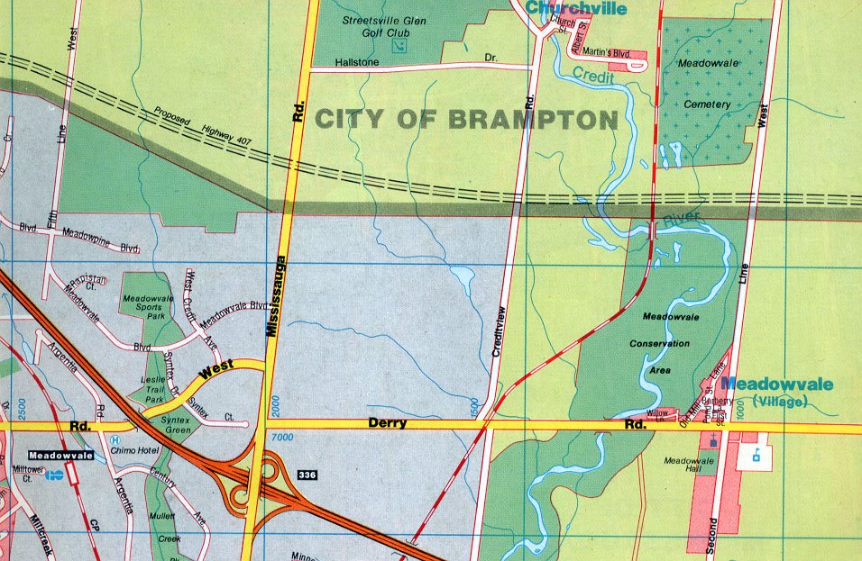
Derry Road and Creditview Road, 1990, MapArt

Derry Road and Creditview Road, 1999, MapArt
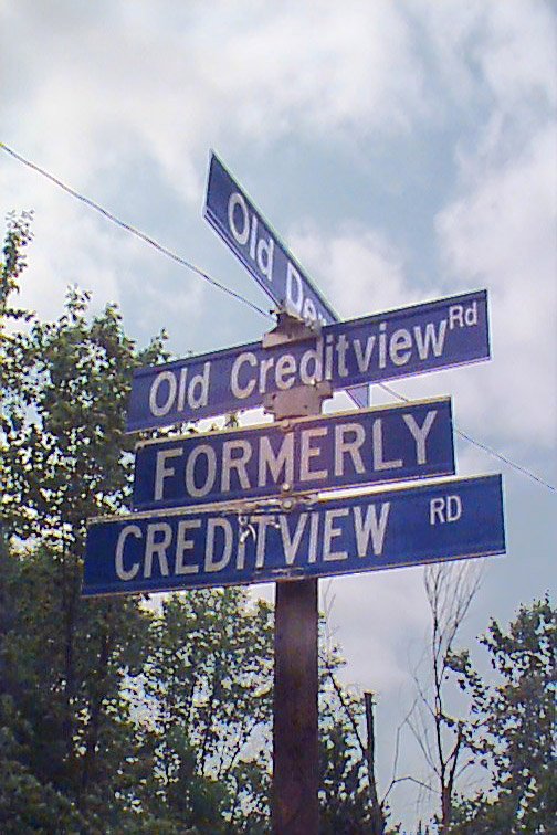
Signposts, 1999
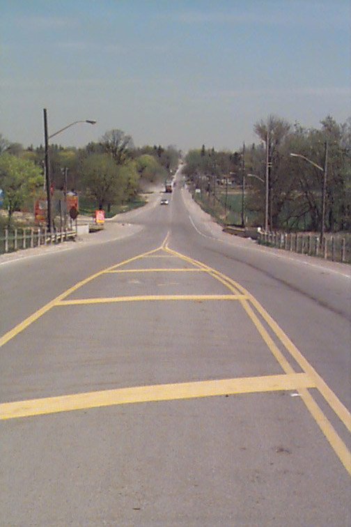
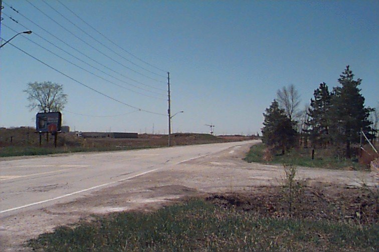
Looking east along Derry Road, now Old Derry Road, towards the Credit River, and Meadowvale Village beyond.
Looking west along Derry as cars turn south onto Creditview...

Close-up shot from same location... the sign says "Old Derry Road Closed Permanently Creditview Road to Meadowvale Blvd." In the distance, just before the building on the right, is Mississauga Road, which runs parallel to Creditview.

The level crossing in the middle of the intersection of Derry and Creditview, now the exclusive province of the trains.

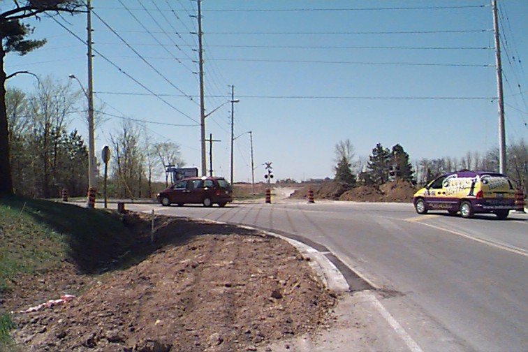
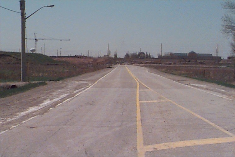
The level crossing, looking south across Derry towards the 401 in the distance.
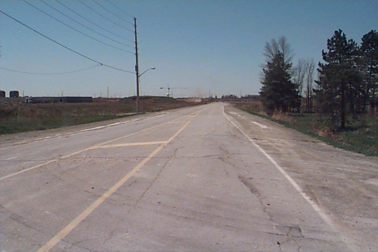
Beyond the train tracks, looking west along Derry. The former northbound course of Creditview is on the right.

This was the way north along Creditview (to my back is Derry). At the time that it was open to traffic, it headed down into a thicket of trees. There were no houses, nor did the bridge in the distance exist. That bridge carries the new course of Derry Road over the creek, which runs just off to the right of the guard rail.

This was an even older entrance to Creditview! I never got to drive this stretch, but I have friends old enough to remember riding on it. It was just a few yards to the east (right, in this view) of the course shown above (off to the left in this view). The creek is just off to the right.
Looking west along the closed section of Derry Road, towards Mississauga Road in the distance.
Further westward along the closed section of Derry.
This is a slightly older shot, from the summer of 1998. I don't have a map showing it, but briefly in the mid-90s, Derry Road was "corrected" to cross straight across Mississauga Road (notice the dogleg in the 1990 map) to rejoin the main course of Derry eastward, through Meadowvale Village, via the portion that's now closed, and the section east of Creditview now called Old Derry Road. When I took this picture, the new course, up through the conservation area and bypassing the village, was already in use. This is the old detour, used for perhaps five or six years, shown in disuse by 1998. By now, this stretch is very likely under buildings.
No comments:
Post a Comment